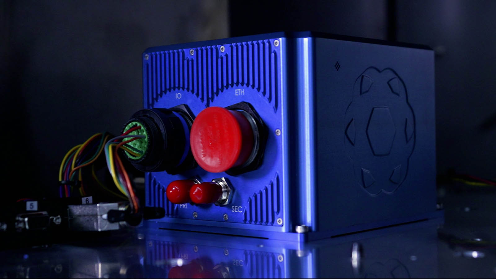
Australia, 7th December 2023 – Advanced Navigation, a global leader in AI robotics and navigation technology, has been awarded a grant by the Australian Department of Defence to advance the nation’s domestic manufacturing capability for photonic chips.
Tag: INS
7 December 2023
Go to Article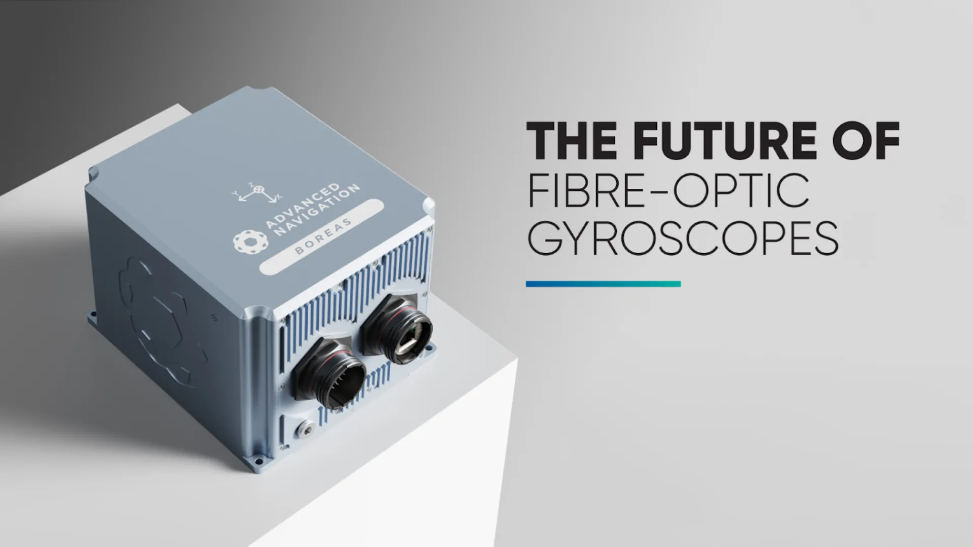
Advanced Navigation Expands Boreas Digital Fibre-Optic Gyroscope Range with New A Series
Advanced Navigation expands Boreas range of digital fibre-optic gyroscopes with new A Series products (A70 and A90).
11 July 2023
Go to Article
Advanced Navigation Engineering Grant Recipients Share Their Insights On Autonomous Systems & Sustainability
As part of Advanced Navigation’s inaugural Student Grant Program designed to motivate and financially support high-achieving engineering students, we asked our applicants how they envision a sustainable future enabled by autonomous systems. A question of great magnitude, it was met with some of the most eye-opening, creativity-laden responses from young minds across the world.
30 June 2023
Go to Article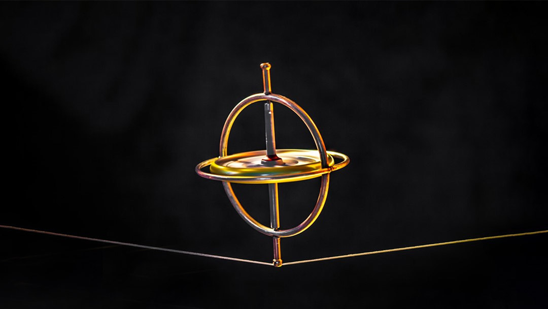
The History of Gyroscopes – From Humble Beginnings to Hyper Technology
The gyroscope most likely began existence as a simple children’s toy – a “spinning top”. It is difficult to speculate who, when and where first discovered this seemingly gravity defying wonder, however, it has endured the ages and has ended up becoming an intrinsic part of human navigation.
21 May 2023
Go to Article
Pedestrian Dead-Reckoning (PDR) – An Introduction
Dead-reckoning is the term given to approximate one’s current position based on estimated movements from a previously known location. That is, having your starting point coordinates, then estimating heading (direction) and distance travelled between each change in direction, using velocity and time, to calculate where you are now.
8 May 2023
Go to Article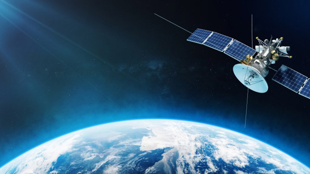
Global Navigation Satellite System (GNSS) and Satellite Navigation Explained
A Global Navigation Satellite System (GNSS) consists of a constellation of satellites orbiting the Earth in very specific trajectories. For global coverage, it is estimated that a constellation requires 18 to 30 satellites. Navigation satellites provide orbit information and accurate timing (and other services) to radio receivers specifically designed to receive those satellite signals and decode the signal message contents.
8 March 2023
Go to Article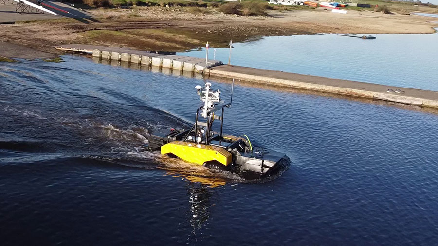
Spatial FOG Dual Helps Ultrabeam’s Axolotl Amphibious Hydrographic Survey Craft Stay on Course Both on Land and in Water
Ultrabeam chooses Spatial FOG Dual GNSS INS for their acclaimed amphibious hydrographic survey anywhere vehicle, Axolotl.
7 March 2023
Go to Article
Inertial Navigation Systems (INS) – An Introduction
An inertial navigation system, commonly known as an INS, is an electronic system that uses a variety of environmental sensors that are able to detect and measure the change in motion of an object. Using sensor data, an inertial navigation system can determine the position of the vehicle or object relative to its starting point.
24 February 2023
Go to Article
Inertial Measurement Unit (IMU) – An Introduction
The measurement of motion, specifically, acceleration, rotation and velocity, is essential to understanding the orientation of an object. It is also broadly applicable to many applications; for example, production line machines, robotic devices, vehicles, autonomous systems, gimbals, machine tools, and even robotic prosthetics.
13 February 2023
Go to Article
Inertial Guidance: A Brief History and Overview
The limitation of most navigation systems is the need for references to confirm actual position with estimated position, be it a map, a star, a satellite constellation, or a landmark. When a reference is not available, we require a different means of maintaining navigation and guidance. Using inertia as a means of detecting and measuring changes in motion has been a popular method of unaided navigation.
4 January 2023
Go to Article