Reliable Autonomous Navigation For Every Vehicle Mission
Secure your mission with high-performance navigation systems built to support autonomous vehicles where GPS doesn’t.
Talk To Our Autonomous Vehicle Experts
Trusted by
Autonomy Means Nothing Without Navigation
Modern defense programs for autonomy face two threats: reliance on satellite signals has led to a single point of failure due to the vulnerability of GPS in contested environments, and relying on legacy vendors with unreliable supply chains locked behind export controls. You can no longer afford to choose between mission capability and deployment speed.


Precision Navigation for Autonomous Vehicles
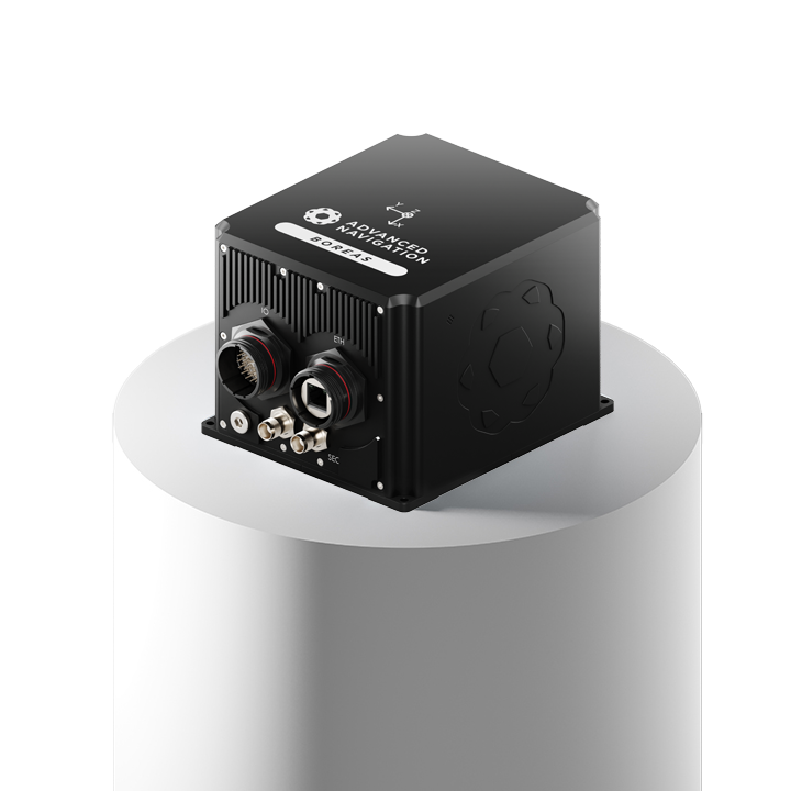
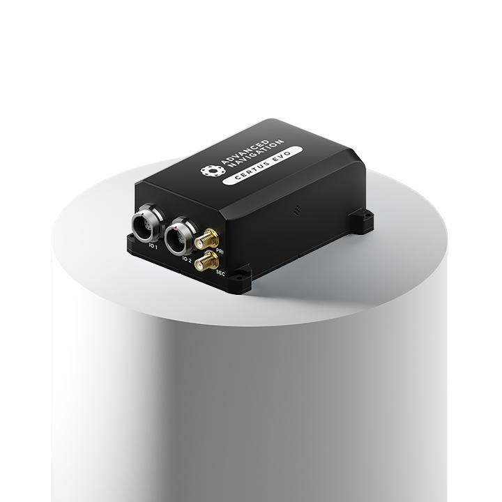
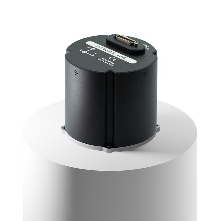
We deliver assured PNT in contested environments with ITAR-free inertial navigation systems (INS) for autonomous vehicles that maintain pinpoint accuracy when GPS signals fail. When combining Fiber-Optic Gyroscope (FOG) precision with a compact, export-ready design, we enable you to bypass legacy supply chain delays and deploy high-performance capabilities quicker.
Explore Autonomous Vehicle Solutions
Your Defense Solutions
Our products are designed to operate in any environment, regardless of sensor drop out or degradation.
FAQs
How easily can your INS integrate with our existing autonomous platforms?
Our systems are designed with flexible interfaces and a modular architecture, enabling fast, low-effort integration into a wide range of unmanned ground, aerial, or maritime vehicles. Our ease of integration is predicated upon our systems being designed to be universally compatible.
Are your INS products suitable for platforms with strict SWaP constraints?
Compared to other systems with similar performance, our INS products are built to deliver high-performance in more compact, lightweight, and power-efficient solutions, making them ideal for space-restricted and payload-limited autonomous vehicle navigation.
How does your INS maintain reliable navigation in GPS-denied environments?
Our INS maintains reliable navigation in GPS-denied environments by using self-contained sensors such as accelerometers and gyroscopes to continuously track its position, velocity, and orientation through dead reckoning. While prone to drift over time, its accuracy is enhanced through high-quality components and advanced sensor fusion that integrate data from complementary velocity and position sensors, providing continuous navigation without reliance on external signals. This makes it crucial for applications in environments where GPS is unavailable, jammed, or spoofed.
Get In Touch
Latest Defense News
Advanced Navigation Supports Rheinmetall with Australia’s Largest-Ever Defense Export
12 December 2024
View Post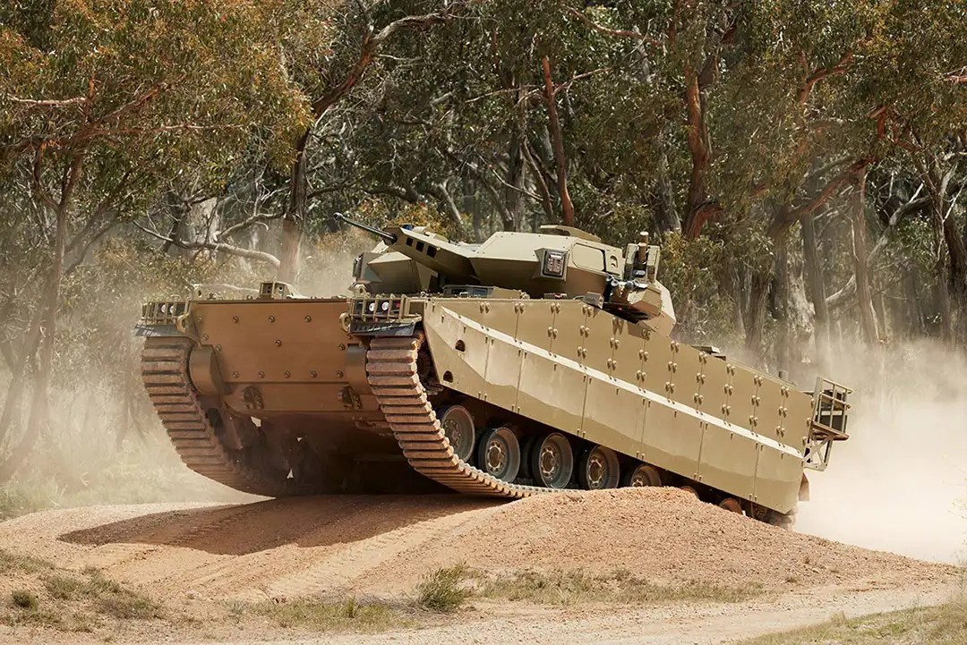
Hanwha Selects Advanced Navigation in $8.7 Million Deal for GNSS-Degraded Navigation
23 September 2024
View Post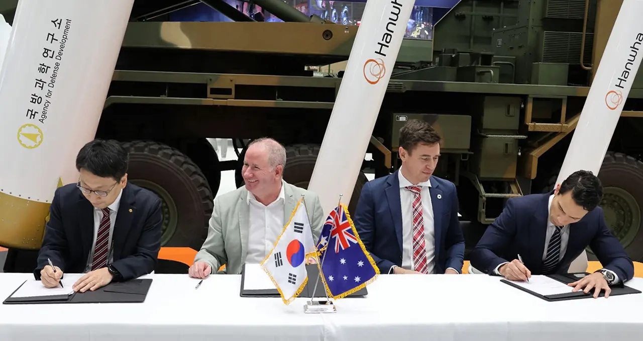
Hanwha Defence Australia, Hanwha Aerospace and Advanced Navigation Sign MoU to Propel Military Navigation Technology Forward
11 September 2024
View Post
Inertial Navigation: Empowering Armored Combat Vehicles in GNSS-Denied Environments
3 September 2024
View Post
Laser Velocity Sensor (LVS): A High-Accuracy Velocity Aid for GNSS-Denied Navigation
30 March 2025
View Post
U.S. Veterans to Drive a New Era of Defense Innovation
8 April 2025
View Post