
Assured PNT for Defense Land Vehicles
Equip tactical and armored vehicles with continuous, EW-resistant A-PNT.
Talk To Our Land Vehicle Experts
Trusted by






Navigating Contested EW Environments
Modern EW battlefields render GNSS a single point of failure. Active jamming and spoofing disorient land vehicle crews, isolate convoys, and derail tactical maneuvers. Tactical troop transports, armored platforms, and RCVs require continuous Assured PNT to maintain situational awareness without sole satellite dependency.


Bypass Legacy Delays
Legacy suppliers burden vehicle programs with extended lead times, high acquisition costs, and complex retrofits that can trigger expensive re-qualification cycles. Advanced Navigation delivers streamlined Assured PNT engineered for rapid manufacturing and low-complexity integration across defense vehicle architectures.
Navigation Solutions for Land Vehicles
Combining Electronic Protection INS with laser velocity sensing for continuous navigation across all EW threat levels.
CONTESTED EW
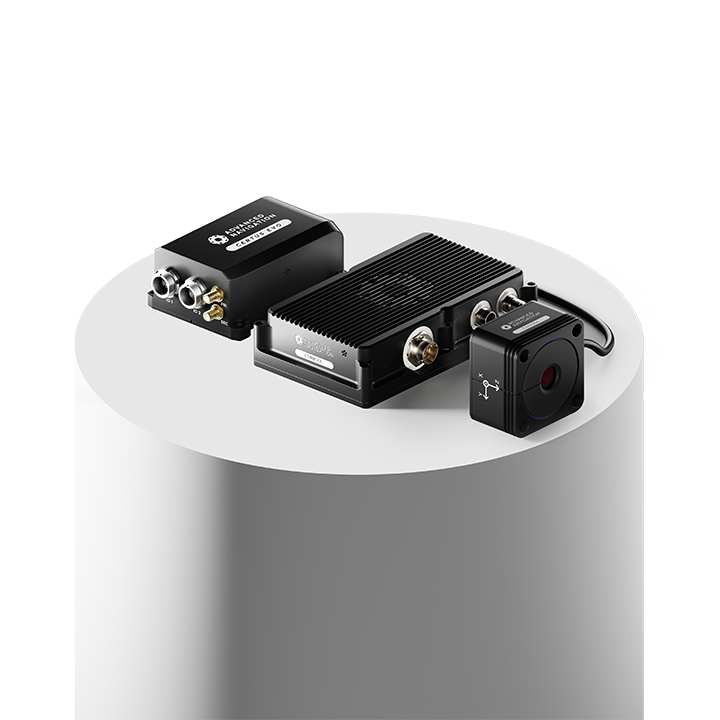
Certus Evo + Chimera Land
Best for intermittent GNSS denial and localized jamming.
Maintain momentum and continuous blue-force tracking through electromagnetic warfare conditions. Designed for environments such as urban canyons or temporary jamming zones, this solution ensures tactical or reconnaissance vehicles resist losing their operational picture as they move in and out of hostile signals.
Certus Evo → Chimera Land →SEVERE EW
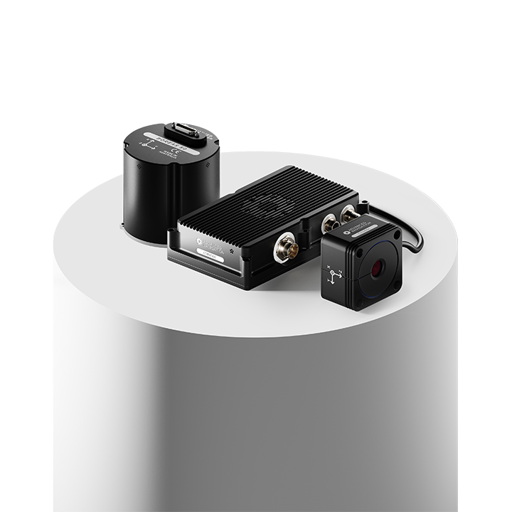
Boreas A50 or D50 + Chimera Land
Best for prolonged GNSS denial and heavy EW environments.
Sustain operational reach deep into contested territory. When adversaries blank out satellite visibility for hours at a time, this solution ensures armored fighting vehicles maintain precision targeting and synchronized maneuverability without needing to stop and re-acquire a signal.
Boreas 50 → Chimera Land →EXTREME EW
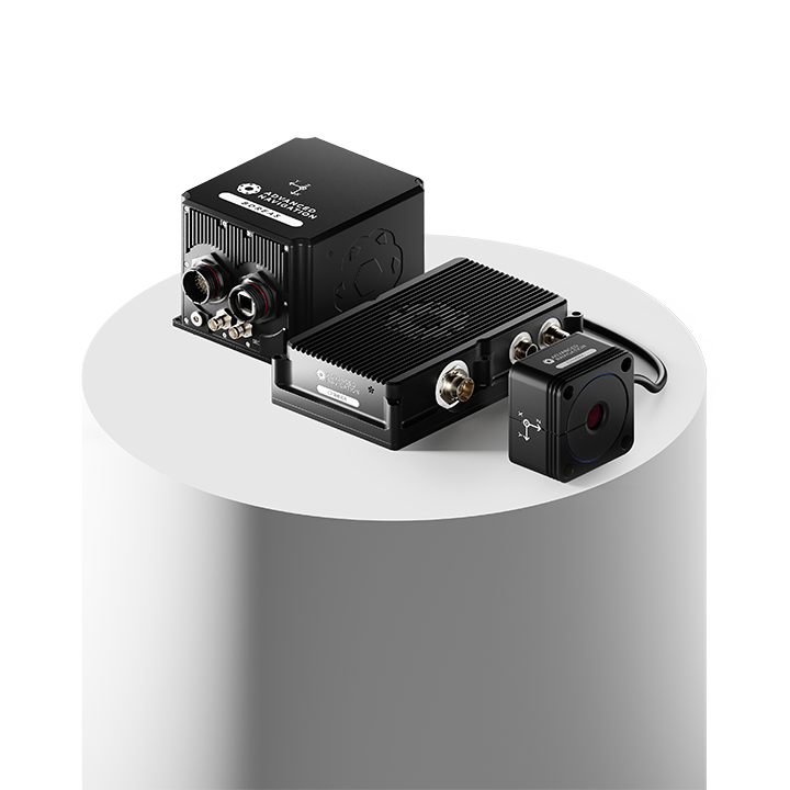
Boreas D70 or D90 + Chimera Land
Best for complete GNSS denial and fully austere environments.
For ultimate mission survivability. Built for denied environments where GNSS is entirely stripped away for the mission’s lifecycle, this solution provides significantly reduced drift to ensure land vehicles can execute complex, multi-day operations and return home safely on dead-reckoning alone.
Boreas D70/D90 → Chimera Land →Latest Defense Tech Articles
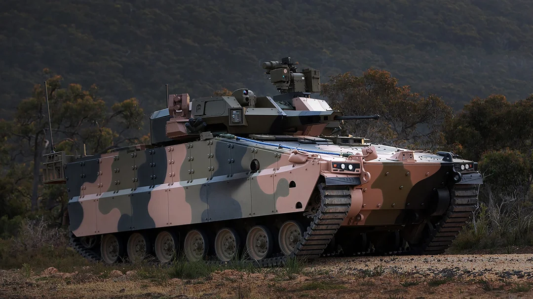
Why GNSS Jamming Demands a New Approach for Armored Fighting Vehicles
9 November 2025
View Post
Is Your Current Navigation Choice Compromising Your Assured PNT Strategy?
15 October 2025
View Post
Inertial Navigation: Empowering Armored Combat Vehicles in GNSS-Denied Environments
3 September 2024
View PostFAQs
How are Advanced Navigation’s delivery timelines faster than legacy defense suppliers?
Advanced Navigation’s vertically integrated manufacturing grants total control over the supply chain, ensuring component availability and rapid production of navigation systems. Organizations achieve their innovation roadmaps by securing navigation hardware (often in weeks), ensuring program schedules are met without the risk of supply chain delays.
How does Chimera Land reduce position drift during wheel slip and off-road maneuvers?
Chimera Land uses non-contact Doppler lasers to measure true 3D body velocity directly against the ground, bypassing wheel spin and slip entirely. Fusing this ground-truth velocity with the INS converts exponential time-based error into a tight distance-based drift rate of total distance traveled.
What interfaces and protocols do Advanced Navigation products support for platform integration?
Hardware integration is supported through RS-232/422 serial, Ethernet, CAN bus, and 1PPS/GPIO timing interfaces. Software and data integration utilize protocols including the ANPP binary format, NMEA 0183, and CANopen, alongside native support for ROS 1/2, ArduPilot, and C/C++/Python SDKs.