Surveying
Navigation Solutions for Land and Marine Surveys
Trusted by the world’s most innovative companies
Accurate Positioning in the Most Demanding Conditions
High Performance
Our systems deliver the highest performance and richest feature set on the market. Our high-performance navigational systems are designed to industry standards, ensuring reliability and efficiency across diverse applications.
Trusted Reliability
All our systems are designed and tested to safety standards with fault tolerance built in to provide you with the highest reliability possible. Our reliability is trusted by many of the world’s largest companies.
Quality
Our systems are built to the highest quality standards in Australia to endure the test of time in the most difficult conditions. You can rely on our products.
Applications
Solutions
The Latest News in Surveying

Insights Into LiDAR Technology and LiDAR-Based Surveying
The genealogy of lidar (light detection and ranging) stems from sonar (sonic navigation and ranging) and radar (radio detection and ranging) technologies. Sonar and radar use acoustic (sound) and electromagnetic waves in the radio or microwave frequency spectrum, respectively. Lidar technology uses electromagnetic radiation in the infra-red and visible light spectrum, which are much higher frequencies than that of radio or microwaves.
26 April 2023
Go to Article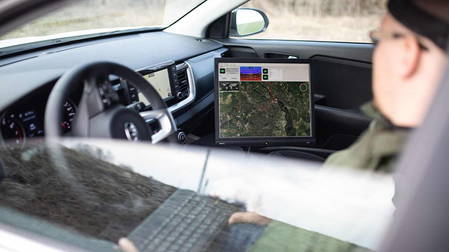
INS Evolution Helps EyeVi Technologies Achieve Scalable LiDAR Survey Efficiency for Road Networks
EyeVi Technologies uses Certus Evo to streamline road maintenance through their scalable LiDAR road surveying solution.
28 March 2022
Go to Article
Cordel COO Ashley Cox Discusses Integrating INS And LiDAR
Nextcore/Cordel COO and founder, Ashley Cox shares insights and expertise with Advanced Navigation’s Head of Product, Adam Barnes in integrating INS and LiDAR.
12 January 2022
Go to Article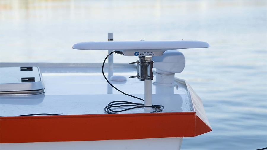
Nortek Uses the GNSS Compass for Its Next Surveying Solution
Nortek uses Advanced Navigation GNSS Compass for accurate heading to assist ADCP in their new survey package. See our GNSS Compass in action!
1 September 2021
Go to Article
ARRB Systems Road Surveying Accuracy Increases With MEMS-Based GNSS/INS Spatial Dual
ARRB sought Advanced Navigation’s INS into their Hawkeye system that delivers more precise and reliable navigation and orientation.
11 July 2021
Go to Article
Certus Evo Helps Nextcore’s UAV-LiDAR Reach New Heights in Both Altitude and Performance
Discover how Nextcore uses Advanced Navigation's Certus Evo to fly their UAV-LiDAR survey drones to new levels of altitude and performance.
25 May 2021
Go to Article