Solutions
Inertial & Subsea Navigation Solutions and Robotics Technology
MEMS IMU/AHRS | FOG IMU/AHRS | MEMS GNSS/INS | FOG GNSS/INS | Acoustic Navigation & Micro AUV | Other Solutions
Attitude and heading reference system
Roll & Pitch
0.1 °
Heading (Magnetic)
0.8 °
Output Data Rate
500 Hz
View Solution
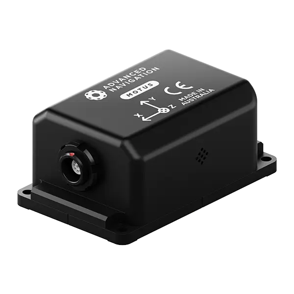
Ultra-high accuracy MEMS IMU
Roll & Pitch
0.05 °
Heading (Magnetic)
0.8 °
Bias Instability
0.2 °/hr
Update Rate
1000 Hz
View Solution
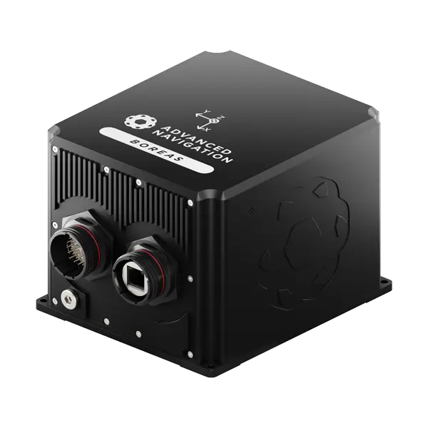
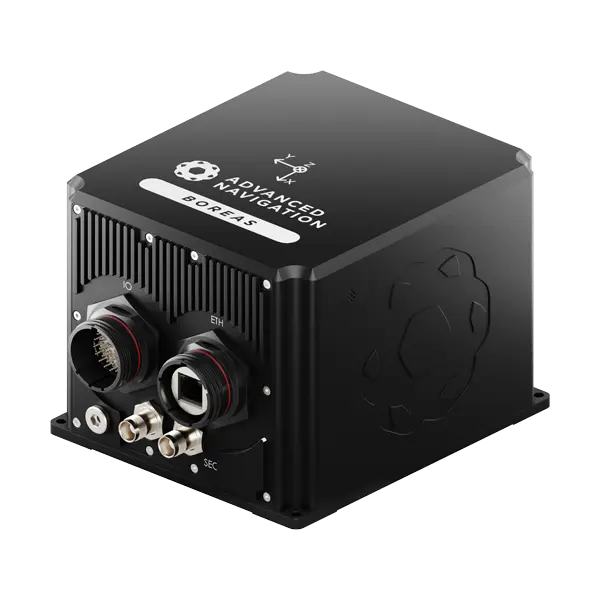
Boreas A70 & A90
Ultra-high performance FOG IMU/AHRS
A70
A90
Roll & Pitch
0.01 °
0.005 °
Heading
0.1 ° seclat
0.01 ° seclat
Bias Instability
0.01 °/hr
0.001 °/hr
Output Rate
1000 Hz
1000 Hz
View Solution
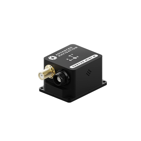
Navigation, single antenna
Roll & Pitch
0.1 °
Heading (Velocity)
0.2 °
RTK Positioning
10 mm
Output Data Rate
500 Hz
View Solution
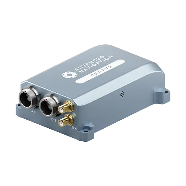
Dual-antenna Navigation
Roll & Pitch
0.1 °
Heading (GNSS)
0.1 °
RTK Positioning
10 mm
Output Data Rate
500 Hz
View Solution
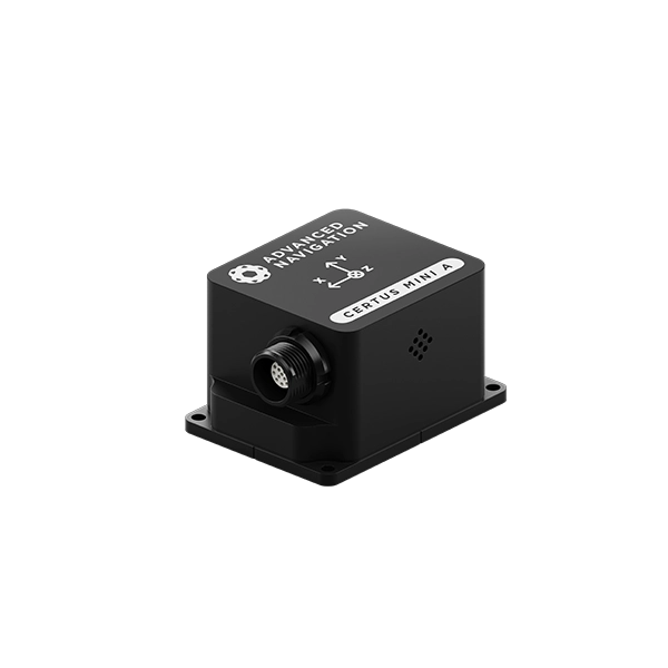
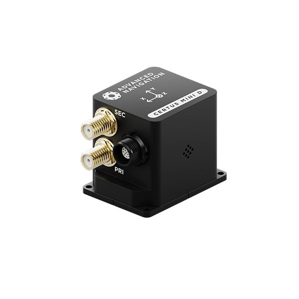
Ultra-high accuracy MEMS INS
Roll & Pitch
0.03 °
Heading (GNSS)
0.05 °
Bias Instability
0.2 °/hr
Position Accuracy
10 mm
View Solution
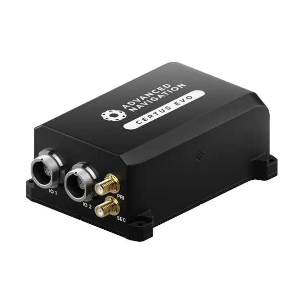
Market-leading dual antenna INS
Roll & Pitch
0.1 °
Heading (GNSS)
0.1 °
Bias Instability
3 °/hr
Position Accuracy
10 mm
View Solution
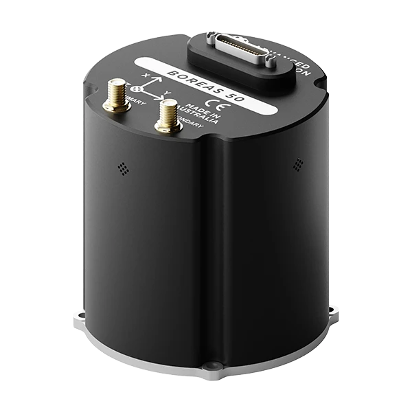
Boreas A50 & D50
Most compact FOG INS
Horizontal Position Accuracy (GNSS RTK)
0.01 m
Roll & Pitch Accuracy
0.03 °
Heading Accuracy (Gyrocompass)
0.5 ° seclat
View Solution
Boreas D70 & D90
World-first digital FOG technology
D70
D90
Roll & Pitch
0.01 °
0.005 °
Heading
0.1 ° seclat
0.01 ° seclat
Bias Instability
0.01 °/hr
0.001 °/hr
Position Accuracy
10 mm
10 mm
View Solution
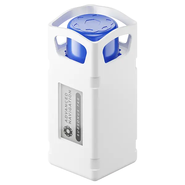
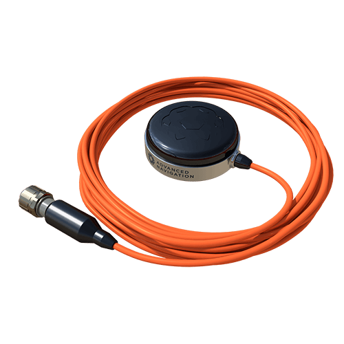
Subsonus Tag
Acoustic positioning transponder
Position Accuracy
0.25 m
Range
1,000 m
Depth Rating
2,000 m
Battery Life
18 months
View Solution
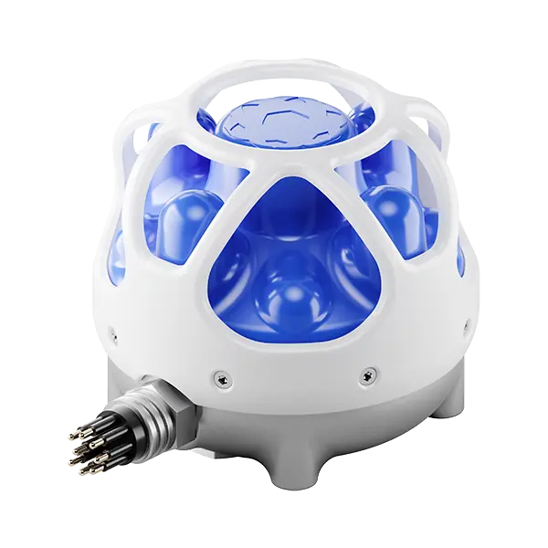
Subsonus
Next-generation USBL/Modem
Position Accuracy
0.1 m
Roll & Pitch
0.1 °
Acoustic Heading
0.3 °
Range & Depth
1,000 m
View Solution
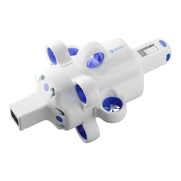
Hydrus
Revolutionary underwater vehicle
Depth Rating
300 m
Video Resolution
4K @ 60 FPS
Range
2 km
Endurance
3 hrs
View Solution
Other Solutions
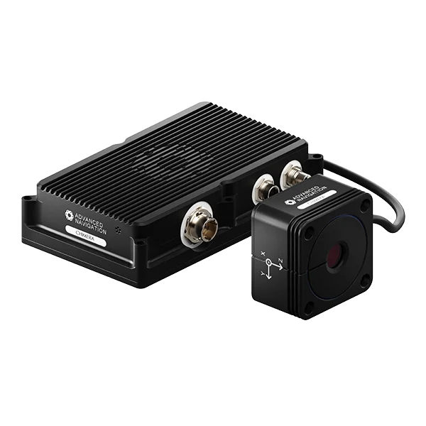
Chimera Land
Provides highly accurate 3D body velocity updates directly to our INS navigation filter
View Solution
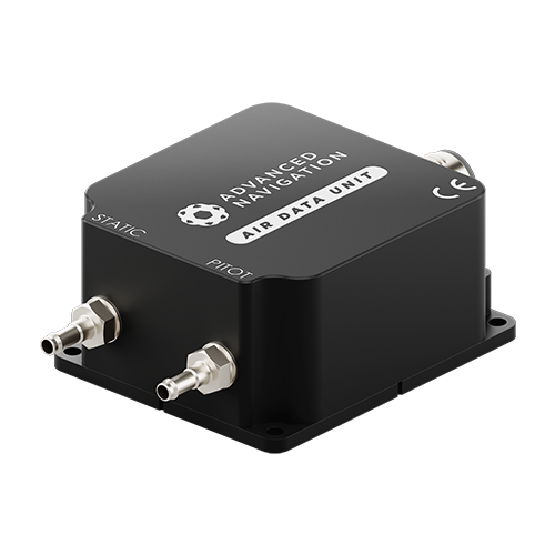
Air Data Unit 2.0
Measures pitot airspeed and barometric altitude in fixed-wing aircraft
View Solution

The Latest News, Articles & More

Europe Expansion with High-Profile Military Appointment
16 June 2026
Go to ArticleHow Improved Positional Accuracy Can Transform Mining Excavation
15 June 2026
Go to Article
High-Precision Navigation at Scale for Counter Drone Technology
18 May 2026
Go to Article
Navigating the Future of Mining Operations
5 May 2026
Go to Article
How Advanced Navigation’s Manufacturing Ensures Consistent Product Quality
27 April 2026
Go to Article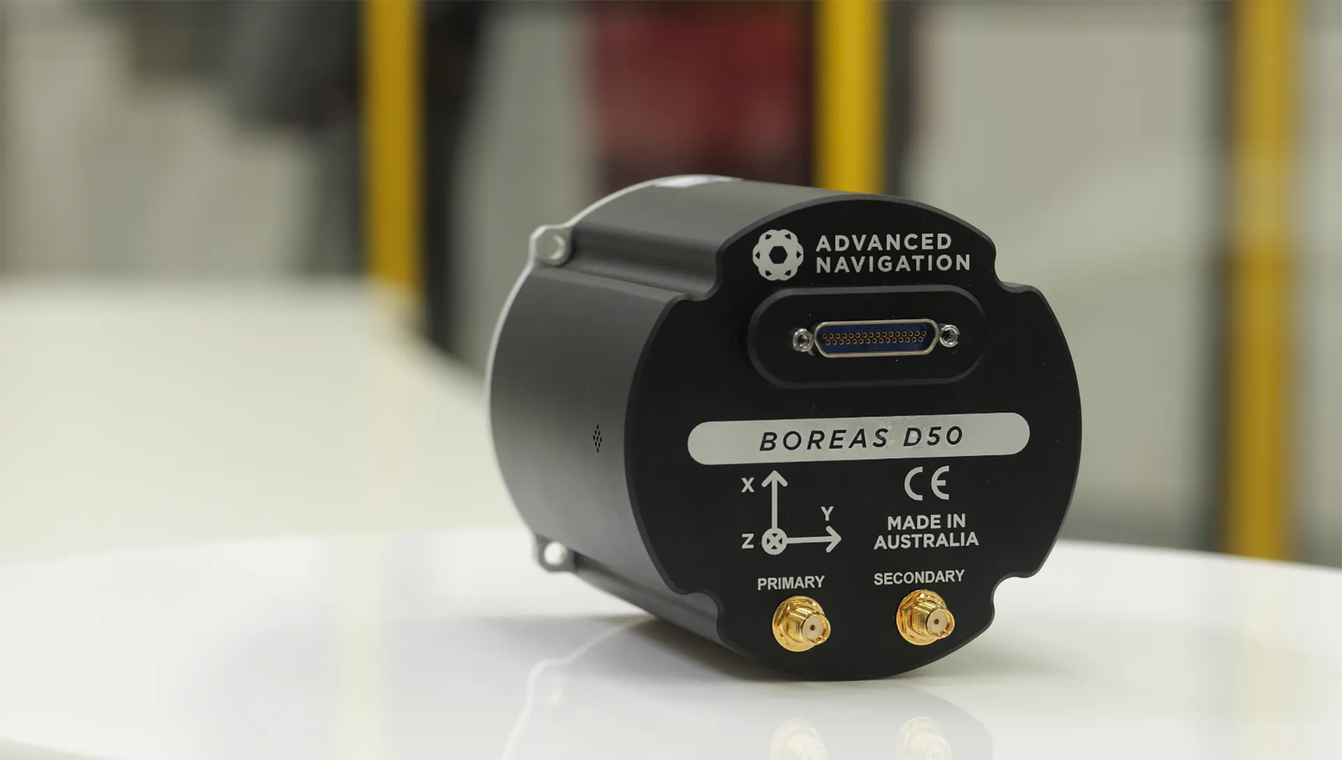
How a Compact North Seeking Gyro Delivers Precision Underground
16 April 2026
Go to Article