A new generation INS has arrived
Spatial is not recommended for new designs. Certus Mini N now available.
View Specifications
Spatial (NRND)
Spatial is a miniature GNSS-aided INS that provides accurate position, velocity, acceleration, and orientation under the most demanding conditions.
Roll & Pitch
0.1 °
Heading (GNSS)
0.2 °
Bias Instability
3 °/hr
Position Accuracy
20 mm
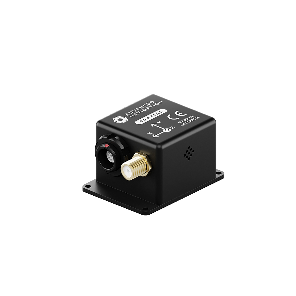
Spatial combines temperature calibrated accelerometers, gyroscopes, magnetometers, and a pressure sensor with an advanced GNSS receiver. These are coupled in an AI-based fusion algorithm to deliver the most reliable and accurate navigation data in its class. Spatial is available in both OEM and rugged packages. Spatial is compatible with our post-processing kinematic (PPK) software Kinematica.

Key Dates for Product End of Life Program
Sep 25, 2024: Not recommended for new design (NRND) – Notification period.
Dec 31, 2025: Last Time Buy (LTB) – Last date to place final orders for Spatial.
Mar 31, 2026: Last Time Ship (LTS) – Final manufacturing run and delivery.
Dec 31, 2026: End of Support – Engineering and technical support ends.
Features

AI Navigation Algorithm
Spatial features Advanced Navigation’s revolutionary AI neural network sensor fusion algorithm. It was designed for control applications and has a high level of health monitoring and instability prevention to ensure stable and reliable data.

High Performance MEMS
Spatial contains high performance MEMS sensors that are put through Advanced Navigation’s intensive 8 hour temperature calibration process. This provides the highest accuracy possible from this sensor class and outputs consistent accuracy over the full temperature range from -40°C to 85°C.

Reliability
Spatial has been designed from the ground up for mission critical control applications where reliability is very important. It is built on top of a safety oriented real time operating system and all software is designed and tested to safety standards with fault tolerance in mind. The hardware is designed and manufactured to mil standards.

Multi Constellation RTK GNSS
Spatial’s GNSS receiver supports GPS, GLONASS and BeiDou. The extra constellations provides higher availability of GNSS reception and better performance in difficult environments such as urban canyons. It supports RTK for real time 1cm position accuracy as well as PPK for post processed 1cm position accuracy.

High Update Rate
Spatial’s internal filter runs at 1000Hz and data can also be output at this rate over high speed RS232. This allows for control of dynamically unstable platforms. Spatial is also highly tolerant of dynamic movement and vibration with advanced filters designed for these applications.
Applications
Surveying
UAVs
UGVs
Robotics
Marine
Motorsport
Specifications
Navigation
Sensors
Accelerometers
Gyroscopes
Magnetometers
GNSS
Communication
Hardware
Downloads
Datasheet
Rugged Reference Manual
Performance Evaluation
3D Model
INS Manager – Desktop
Version 8.1
26 Jun 2026
INS Manager – Deskop is used for testing, configuration, firmware management and logging with Advanced Navigation’s INS devices. Java 11 is required to run INS Manager – Desktop. Adoptium JRE 11 is the recommended Java installer. Refer to respective INS Manuals for the user guide.
Spatial Firmware
Version 6.51
19 Jan 2024
Firmware for all Spatial hardware versions. This can be loaded onto Spatial using the Spatial Manager software. The change log can be found in the Spatial reference manual.
Spatial SDK
Version 7.3
28 Aug 2024
The Spatial SDK provides example source code for interfacing with Spatial through the AN Packet Protocol. The languages provided are C/C++, Java, and .Net C#.