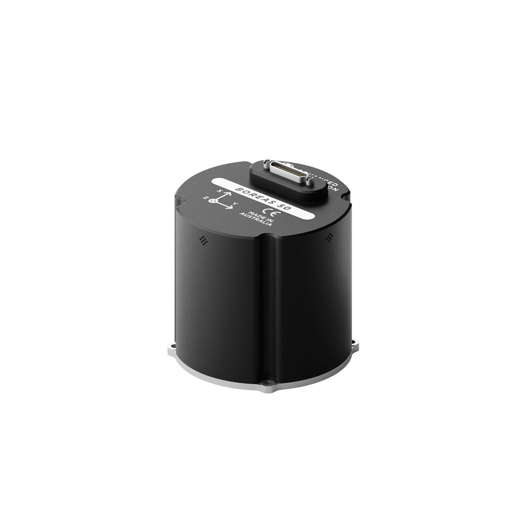
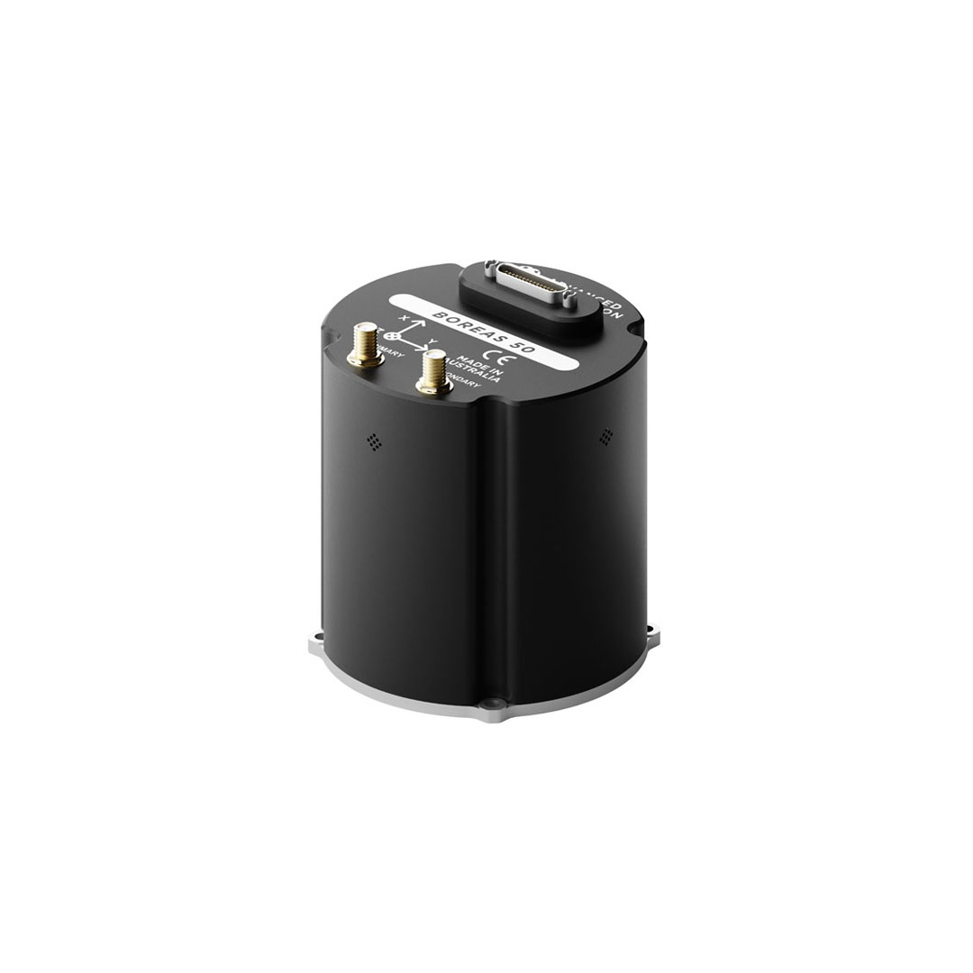
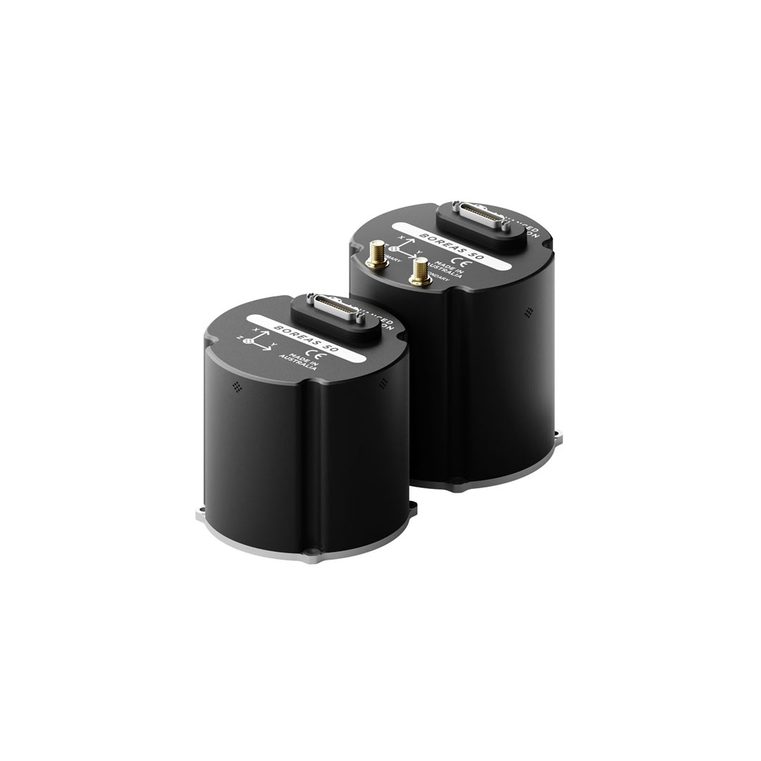
Boreas A50 & D50
The Boreas 50 Series is a compact, rugged inertial navigation system with a north-seeking gyrocompass that maintains reliable navigation in GPS-denied and harsh environments.
Horizontal Position Accuracy (GNSS RTK)
0.01 m
Roll & Pitch Accuracy
0.03 °
Heading Accuracy (Gyrocompass)
0.5 ° seclat
The Boreas 50 series provides compact, north-seeking gyrocompassing** for accurate heading and orientation, even in GNSS-denied environments.
Boreas 50 series variants:
- A50 provides heading and orientation as an AHRS and INS.
- D50-X20P is a dual antenna all-band GNSS receiver.†
- D50-MX5 is a dual antenna multi-band GNSS receiver, with Electronic Protection for resilience against jamming and spoofing threats.
*Designed to MIL-STD-461G and 810H.
**Gyrocompassing determines accurate heading from the Earth’s rotation, removing the dependence on GNSS satellites.
†Dual antenna heading capability available on X20P from July 2026.
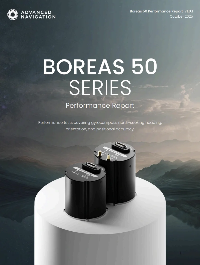
Don’t let GNSS degradation stop your mission
Find out more about how our compact, north-seeking Boreas 50 delivered 0.1% DT accuracy, validated under real-world conditions.
Download the performance report
Features
FOG Technology
The Boreas 50 fiber optic gyroscope (FOG) is a highly accurate and reliable navigation technology. It’s the result of over 25 years of development in partnership with two research institutions. The gyroscope uses a closed-loop optical coil and an advanced spread-spectrum digital modulation technique to improve accuracy, stability, and reliability while reducing size, weight, power, and cost.

Gyrocompass North-Seeking
The Boreas range of fiber optic gyroscopes (FOGs) can determine heading without needing a Global Navigation Satellite System (GNSS) or a magnetometer. By sensing the Earth’s rotation, the system’s north-seeking algorithm can acquire an accurate heading. This is possible in static and dynamic conditions, even at high latitudes.

Reliability
Boreas 50 has been designed from the ground up for rugged reliability. Both the hardware and software are tested and certified to environmental and electromagnetic standards (MIL-STD 461 and MIL-STD 810H). The precision aluminum enclosure is waterproof and dustproof to the IP67 standard. The system is resilient to shock and vibration, allowing it to be used in extreme conditions.

Industry-Leading SWaP-C
The Boreas 50 FOG Series delivers industry-leading performance with a compact and lightweight design. Excelling in terms of Size, Weight, Power, and Cost (SWaP-C).

Multi-Protocol Support
The Boreas 50 features multiple interfaces, including Ethernet, CAN, RS232, 1PPS, RS422, and GPIOs. It supports industry standard protocols, including NMEA 0183, CANopen, 1PPS, and ANPP, as well as a wide variety of proprietary protocols. A rich, responsive embedded web interface provides full access to all of the device’s internal functions and data. Internal storage allows for up to one year of data logging.
Applications
Tactical Vehicles
Pointing Platform
Maritime Vehicles
Drill Rig Alignment
Fleet Management
ROV Navigation
Specifications
Position
Horizontal Position Accuracy (GNSS RTK)
Orientation
Heading Accuracy – Gyrocompassing (GNSS denied)
(≈ 0.7 ° RMS at 45 ° latitude)
(≈ 0.7 ° RMS at 45 ° latitude)
Roll & Pitch Accuracy – Gyrocompassing (GNSS denied)
Heading Accuracy – Dual GNSS Antenna
(0.1 ° RMS with 1 m baseline; 0.01 ° RMS with ≥ 2 m baseline)
(0.1 ° RMS with 1 m baseline; 0.01 ° RMS with ≥ 2 m baseline)
Roll & Pitch Accuracy – Dual GNSS Antenna
Heading Accuracy – Dynamic Motion (with GNSS aiding)
*Dual antenna heading capability available on X20P from July 2026.
Roll & Pitch Accuracy – Dynamic Motion (with GNSS aiding)
Gyroscope
Null Bias
Scale Factor Error
Range*
*Other ranges available upon request.
Bias Instability
Accelerometer
Null Bias
Scale Factor Error
Range*
*Other ranges available upon request.
Bias Instability
Hardware
Dimensions
Weight
Power Consumption (Typical)
Input Operating Voltage
Operating Temperature
Pressure Sensor
Range
Protocols
Advanced Navigation Packet Protocol (ANPP)
NMEA 0183
CANopen
1PPS
Aiding Sensor Protocols
DVL/USBL
Air Data
Zero Velocity
NMEA Input/Output
GNSS
DVL/USBL
Air Data
Zero Velocity
NMEA Input/Output
GNSS
Interfaces
1 x Ethernet
1 x RS232/RS422
2 x GPIO
1 x CAN
1 x 1PPS
Downloads
Datasheet
Boreas 50 Performance Report
INS Manager – Desktop
Version 8.1
26 Jun 2026
INS Manager – Deskop is used for testing, configuration, firmware management and logging with Advanced Navigation’s INS devices. Java 11 is required to run INS Manager – Desktop. Adoptium JRE 11 is the recommended Java installer. Refer to respective INS Manuals for the user guide.
Boreas A50 Firmware
Boreas D50 Firmware
3D Model
Related Articles

Unleashing Precision: Advanced Navigation Fuels Orient Express In the High-Stakes America’s Cup
22 August 2024
View Post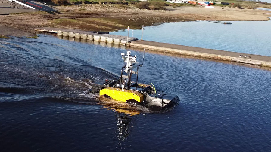
Spatial FOG Dual Helps Ultrabeam’s Axolotl Amphibious Hydrographic Survey Craft Stay on Course Both on Land and in Water
7 March 2023
View Post