Chimera Land
Chimera Land is a Laser Velocity Sensor (LVS) that enables uncompromised dead reckoning reliability.
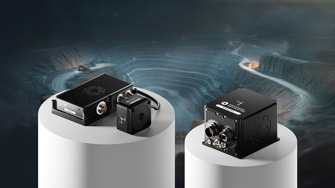
Chimera Land performance when paired with Boreas D90:
3D Dead Reckoning Positional Error per Traveled Distance
~0.05% TD (CEP50)†
3D Body-Velocity Scaling Error
200 ppm (max)
†Based on distance 1 to 100km, average velocity ≥ 7km/hr
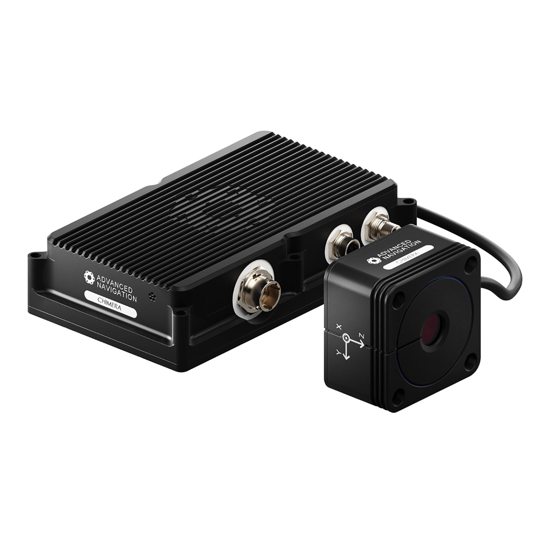
Chimera Land redefines navigation assurance for ground vehicles. This non-contact LVS provides highly accurate 3D body velocity updates directly to our INS navigation filter, bypassing inaccuracies inherent in mechanical odometry.
Chimera Land is engineered for extreme environments, such as defense and mining, specifically targeting operational theaters where GNSS is compromised, denied or degraded. It integrates seamlessly into our existing Boreas and Certus Evo Inertial Navigation System (INS) ecosystem.
*Designed to meet MIL-STD-461G and 810H
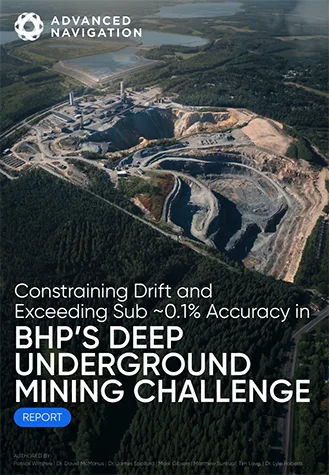
22 km Traversed at 1400m Depth. Sub-0.1% Error Rate.
See how our Fiber-Optic Gyroscope Inertial Navigation System combined with our Chimera Land Laser Velocity Sensor demonstrated long-range navigational accuracy in Europe’s deepest underground mine.
See the Trial Results
Features
Highly Accurate 3D Velocity
Measures a vehicle’s 3D body velocity with extraordinary accuracy and update rate, enabling tracking of complex movements, such as vibration, wind buffering, or wheel slip. Chimera Land achieves this measurement sensitivity by employing advanced infrared (IR) laser Doppler velocimetry which operates at much shorter wavelengths than conventional radar.
Exceptional Long-Duration Dead-Reckoning
When the LVS is combined with one of Advanced Navigation’s high performance INS, the INS’ performance is significantly enhanced, delivering exceptional long-duration dead-reckoning accuracy. This is especially valuable underground, or in GNSS denied, jammed and spoofed environments.
Effective Across Diverse Terrains
Chimera Land is designed for high-performance operation across diverse terrains. It handles natural surfaces such as sand, dirt, rock, grass, and gravel, alongside paved infrastructure such as bitumen and concrete roads. Its capability extends to complex environments including mountains, tunnels, and open pits.
Rugged Reliability
The LVS is certified to withstand the dust, vibration, and extreme temperature variations found in underground mining or demanding military environments.
Applications
Fleet Management
Underground Localization and Navigation
High Precision Machine Guidance
Haulage
Tactical Vehicles
Specifications
Operational
Hardware
Interfaces
Compliances
Downloads
Datasheet
3D Model
Chimera Land Firmware
Version 1.11
2 Apr 2026
Firmware for Chimera Land hardware. This can be loaded onto the Chimera Land unit from the web interface, as described in the Chimera Manager section of the manual. The change log can be found in the manual.
Related Articles
Launching Chimera Land: A Breakthrough in Uncharted Underground Mining
23 February 2026
View Post
Advanced Navigation’s Inertial-Centric Intelligence Succeeds in the U.S. Army’s Contested Environment
4 February 2026
View Post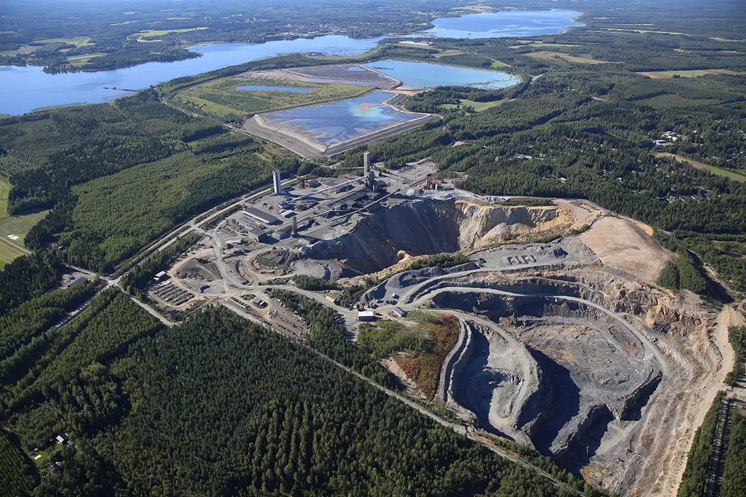
Hybrid Navigation System: Mitigating Drift in Underground Mining with an INS + LVS
11 August 2025
View Post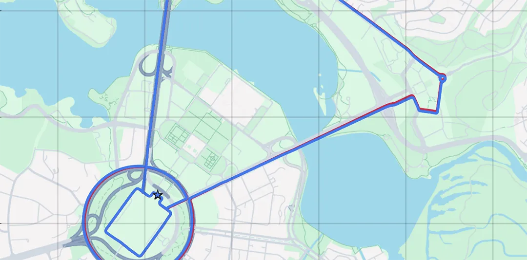
Laser Velocity Sensor (LVS): A High-Accuracy Velocity Aid for GNSS-Denied Navigation
30 March 2025
View Post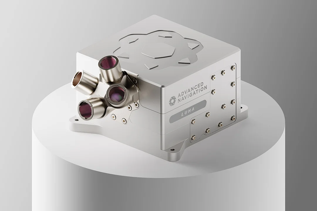
Peering through Lunar Darkness: Lasers to Steer the Next Generation of Moon Landers
28 September 2025
View Post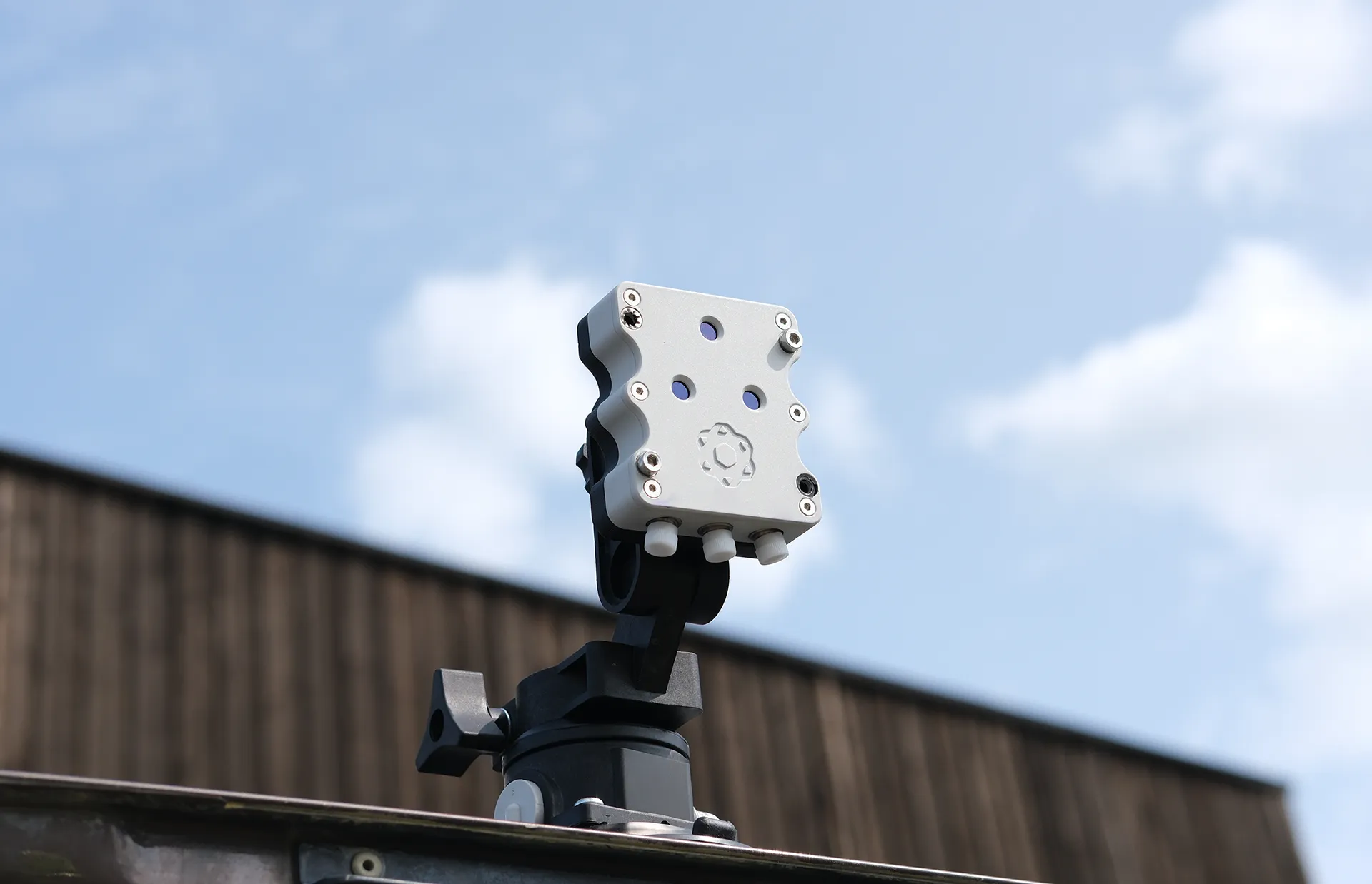
Advanced Navigation Conquers Europe’s Deepest Underground Mine Without GNSS or Fixed Infrastructure
11 August 2025
View Post