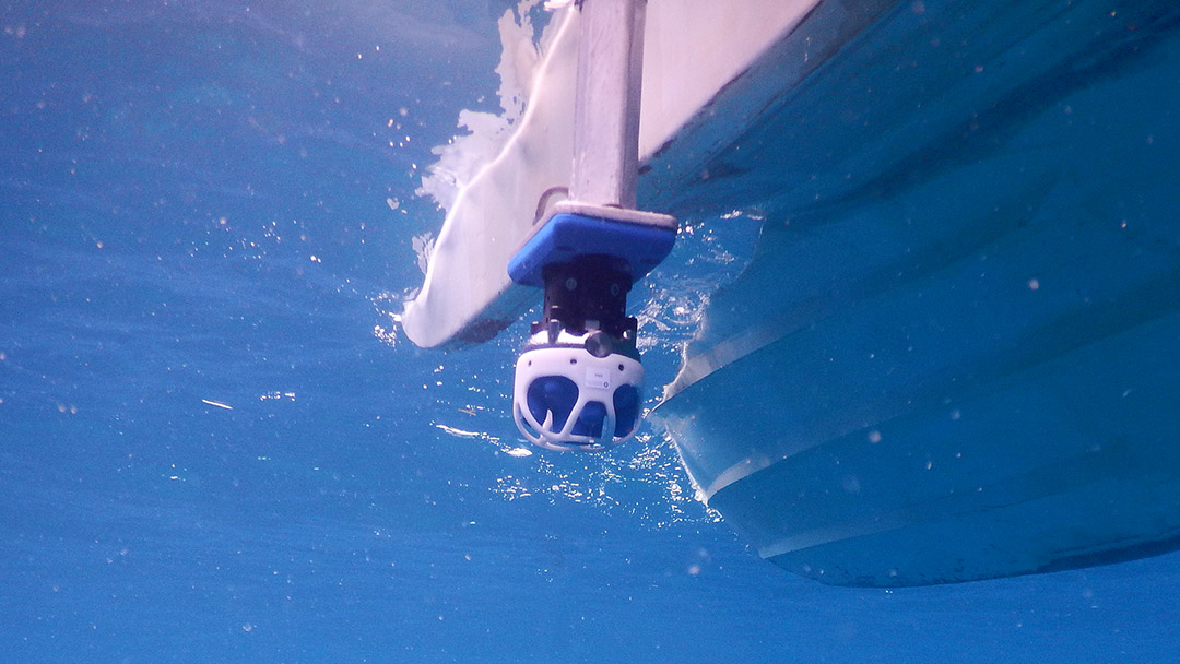
Maritime intelligence is required for a variety of reasons, including underwater infrastructure inspections and environmental monitoring, and its significance is only increasing.
Tech Articles

Digitally Encoded Doppler Ranging and Velocity – A New Paradigm in Laser Based Measurement
Advanced Navigation’s light detection altimetry and velocimetry (LiDAV) system sets a new benchmark for laser-based distance/range and velocity measurement. This patent pending technology delivers a navigational sensor capable of measuring distance and velocity with extreme accuracy and with less hardware than any other system with similar characteristics.
25 May 2024
Go to Article
Integrating Inertial Navigation Systems: What to Know
As the use of autonomous systems continues to grow, the importance of their ease of integration cannot be overstated. This refers to how seamlessly a system can be integrated into a vehicle or platform, both physically and electronically.
3 January 2024
Go to Article
How Micro Hovering AUVs can Change the Conversation Around Rig-to-Reef Programs
Oil rigs, those formidable structures used for extracting crude oil and natural gas from beneath the ocean floor, face an intriguing dilemma when they reach the end of their productive life. In accordance with international law, governments typically require retired oil rigs be treated as maritime waste and removed. However, there is a growing interest in repurposing them as artificial reefs.
19 December 2023
Go to Article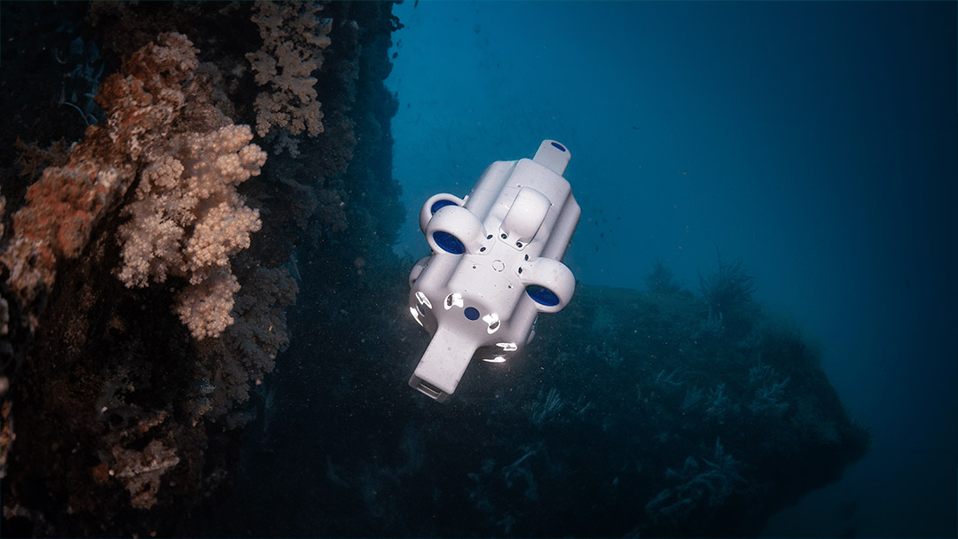
Hydrus Functionality in the Field: Unveiling the Depths of Ocean Intelligence
In October 2023, Advanced Navigation deployed its micro hovering autonomous underwater vehicle (AUV) Hydrus off Rottnest Island, Western Australia. The purpose of the mission was to capture high-quality still imagery and 4K video, for the purposes of benthic inspection and 3D photogrammetry reconstruction.
15 November 2023
Go to Article
Advanced Navigation Engineering Grant Recipients Share Their Insights On Autonomous Systems & Sustainability
As part of Advanced Navigation’s inaugural Student Grant Program designed to motivate and financially support high-achieving engineering students, we asked our applicants how they envision a sustainable future enabled by autonomous systems. A question of great magnitude, it was met with some of the most eye-opening, creativity-laden responses from young minds across the world.
30 June 2023
Go to Article
The History of Gyroscopes – From Humble Beginnings to Hyper Technology
The gyroscope most likely began existence as a simple children’s toy – a “spinning top”. It is difficult to speculate who, when and where first discovered this seemingly gravity defying wonder, however, it has endured the ages and has ended up becoming an intrinsic part of human navigation.
21 May 2023
Go to Article
Pedestrian Dead-Reckoning (PDR) – An Introduction
Dead-reckoning is the term given to approximate one’s current position based on estimated movements from a previously known location. That is, having your starting point coordinates, then estimating heading (direction) and distance travelled between each change in direction, using velocity and time, to calculate where you are now.
8 May 2023
Go to Article
Insights Into LiDAR Technology and LiDAR-Based Surveying
The genealogy of lidar (light detection and ranging) stems from sonar (sonic navigation and ranging) and radar (radio detection and ranging) technologies. Sonar and radar use acoustic (sound) and electromagnetic waves in the radio or microwave frequency spectrum, respectively. Lidar technology uses electromagnetic radiation in the infra-red and visible light spectrum, which are much higher frequencies than that of radio or microwaves.
26 April 2023
Go to Article
A Leap Forward in Ag-Tech: How Autonomous Systems and Precision Agriculture are Transforming Farming – A Guide
Traditional techniques for crop growing and other agriculture activities have been a mainstay for literally centuries, however, technology has caught up in a big way that is offering farmers many new and ingenious ways to improve life on the land.
6 April 2023
Go to Article