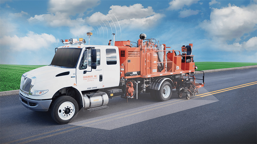
LimnTech Scientific use Certus MEMS INS to greatly improve penetration into GNSS impaired areas for automated road marking.
Tag: MEMS GNSS/INS
19 July 2022
Go to Article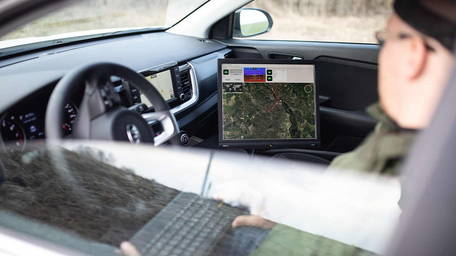
INS Evolution Helps EyeVi Technologies Achieve Scalable LiDAR Survey Efficiency for Road Networks
EyeVi Technologies uses Certus Evo to streamline road maintenance through their scalable LiDAR road surveying solution.
28 March 2022
Go to Article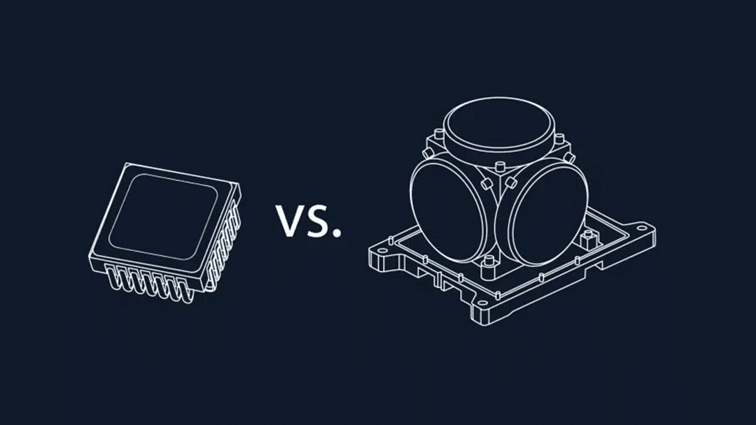
MEMS VS FOG: What Inertial System Should You Choose?
MEMS vs FOG: the Ring laser gyroscope (RLG) has dominated the inertial navigation market since its first inception in 1963, recently its dominance has been challenged by improvements to Fibre Optic Gyroscope (FOG) technology. These technological improvements are slowly but surely eroding the RLG’s place in the inertial navigation market, pushing the aging technology to irrelevance.
10 February 2022
Go to Article
How is AI Revolutionising Inertial Navigation?
Since its inception in the 1960s, the Kalman filter has been commonly used to this day for guidance and navigation applications. It has undergone many adjustments designed to improve upon the basic implementation, such as the extended and unscented Kalman filter. In recent years, however, a new approach to filtering based on artificial neural network (ANN) processing has made significant breakthroughs that have pushed the inertial navigation industry into a new era.
4 September 2021
Go to Article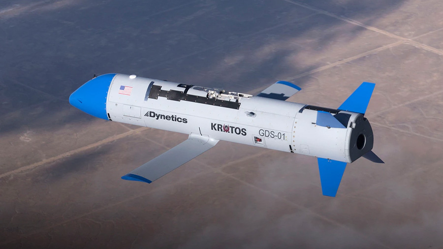
Dynetics Selects Advanced Navigation for Gremlins X-61 UAV
With Advanced Navigation’s INS, Dynetics was able to demonstrate efficient and safe mid-air retrieval of its Gremlins X-61 UAV.
23 August 2021
Go to Article
ARRB Systems Road Surveying Accuracy Increases With MEMS-Based GNSS/INS Spatial Dual
ARRB sought Advanced Navigation’s INS into their Hawkeye system that delivers more precise and reliable navigation and orientation.
11 July 2021
Go to Article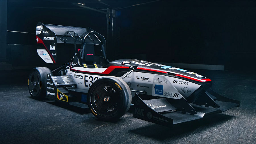
AMZ’s Driverless Race Car Takes the Lead With Advanced Navigation’s Spatial Dual
Learn how the AMZ Race Car team uses Advanced Navigation’s Spatial Dual to operate their driverless electric race car.
6 June 2021
Go to Article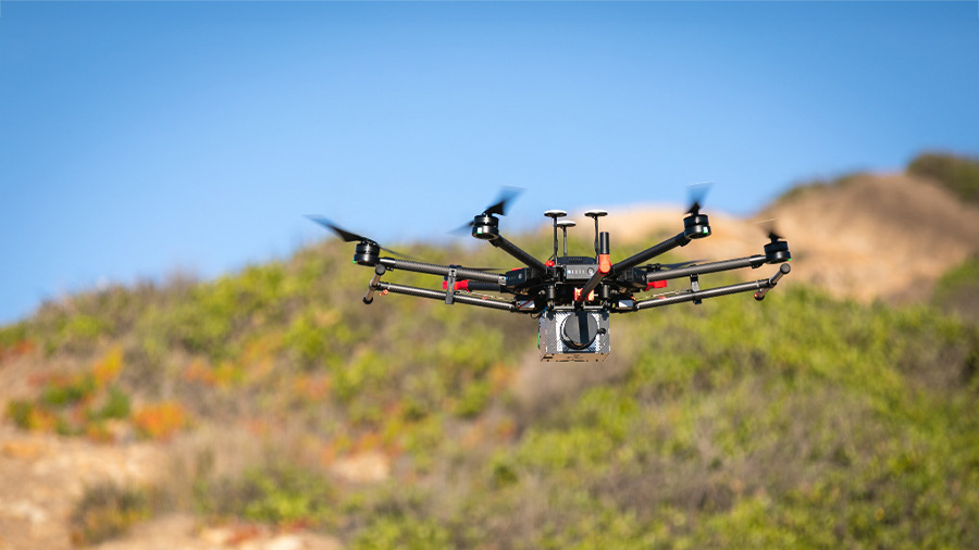
Certus Evo Helps Nextcore’s UAV-LiDAR Reach New Heights in Both Altitude and Performance
Discover how Nextcore uses Advanced Navigation’s Certus Evo to fly their UAV-LiDAR survey drones to new levels of altitude and performance.
25 May 2021
Go to Article