
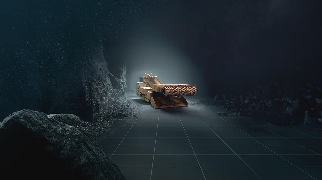
Subsurface Mining Challenges for Navigating the Dark
Share:
Published on:
Article Summary
The Challenge: Subsurface mining operations can face asset tracking inaccuracies and navigation drift because traditional navigation systems lose GNSS signal access.
The Solution: To mitigate drift without relying solely on fixed underground infrastructure, operations deploy a dead-reckoning system that pairs an Advanced Navigation Inertial Navigation System (INS) with the Chimera Land Laser Velocity Sensor (LVS) to continuously track vehicle positioning.
The Outcome: Mines gain highly accurate, unambiguous spatial data that improves ore grade reconciliation, optimizes fleet dispatching, and lays a foundation for subsurface autonomous mining operations.
In a recent episode of the Mining Now podcast, host Rory Bamford sat down with Ted Evans, Head of Sales and Tim Laws, Senior Account Executive from Advanced Navigation.
The discussion cut through the industry fluff to target the genuine, daily operational blockers that those operating in the mining sector face when trying to track assets and automate fleets in GNSS-disrupted subsurface mining environments.
This Tech Article distills five challenges highlighted by Tim and Ted, offering practical insights into how modern mining operations are overcoming them with Advanced Navigation.
Why do Traditional Underground Navigation Systems Suffer from “Exponential Drift,” and how does it Ruin Automated Tracking?
Without a surface GNSS signal to act as a constant “source of truth,” a traditional INS must rely purely on internal sensors to calculate position of moving vehicles. Left to their own devices, these calculations suffer from compounding errors.
For example, if a haul truck or utility vehicle is idling at a bay, its position on the manager’s dispatch screen will slowly wander away purely because the clock is ticking. Over a long shift, this makes automated dispatching and Fleet Management Systems (FMS) highly inaccurate.
As Tim pointed out, this creates an exponential drift. “When you don’t have [GNSS], it will just drift off,” Tim explained. “When you have an error growth that is exponential as a function of time, then just sitting still doing nothing, the error is growing because time is passing.”
The key is shifting the error growth from a function of time to a function of distance. By pairing the INS with a precise, independent velocity source such as the Chimera Land LVS, the error only accumulates when the vehicle actually moves, freezing the drift completely when the machine stops.
Why is Standard Wheel Odometry Failing on Underground Haul Roads?
On paved surface roads, mechanical wheel speed sensors (wheel odometry) work reasonably well because tires maintain solid traction. Underground declines and development drifts are a completely different story.
Subsurface mining environments mean heavy machines are constantly clawing for traction on loose dirt, wet rock, and mud. “The slip is several percent all of the time because these are heavy machines operating on a loose surface,” Tim noted. To illustrate how advanced the filtering needs to be, Tim uses a comparison: standard tracking systems simply cannot handle the extreme dynamics of underground heavy machinery, as it requires a system robust enough to track a rally car sliding sideways or catching air over jumps, where wheel rotation completely detaches from actual ground speed.
If a navigation system relies on mechanical wheel sensors, it interprets wheel spin or side-slip as forward travel, corrupting the vehicle’s spatial data.
Shifting to non-contact velocity sensors, such as Doppler laser systems can provide true body velocity, overcoming the wheel-slip variable.
How do Localization “Blind Spots” Beyond Fixed Infrastructure Compromise Ore Grade Reconciliation?
The main decline of a mine usually features robust telecommunication infrastructure, but the active development face is highly dynamic and constantly progressing. No operations team wants to halt production to wait for fixed communications infrastructure to catch up to the face, nor does the mine want to install expensive hardware in the area where it is almost guaranteed to be broken.
When machines push beyond the limits of fixed infrastructure, they enter a tracking blind spot. Ted emphasized that this causes a severe break in data continuity.
“The face is always moving. It’s a very dynamic environment. No one’s waiting around to put the infrastructure into the development area before they get in there and start working,” Ted said.
Without precise vehicle localization at the dynamic face, you lose the chain of custody for your data. Even if a loader is equipped with advanced bucket sensors to analyze ore grade, that data is useless if you cannot verify exactly which stope or face the material came from.
Tim warned that this directly leads to costly grade dilution: “You don’t want to be throwing really diluted garbage and overburden into the processing plant. That’s horrifically expensive. You want to be putting into the plant good material that you can actually turn into profit.”
How Does a Lack of Underground Positioning Compromise Miner Safety During Drill Rig Alignment?
Ensuring a drill rig is perfectly aligned to the mine plan is difficult, especially if you want to do it quickly. Most operators will mention how often they are waiting for the surveyors or rig alignment tools.
Moreover, mining is an inherently dangerous endeavor, so keeping personnel at the heading any longer than necessary simply increases their exposure to risk.
We believe our north-seeking, Fiber-Optic Gyroscope (FOG) based systems are sophisticated and rugged enough to benefit drilling operations sufficiently, such that less frequent survey work is required to maintain a heading.
What Environmental Blockers are Halting the Transition to Autonomous Fleets in Subsurface Mining?
To secure the next generation of minerals, advanced mining operators are forced to mine deeper than ever before. At these extreme depths, rock temperatures pose a severe threat to human survival.
Tim highlighted the harsh thermal reality of deep mining, noting that ambient temperatures can skyrocket to a brutal 80°C/176°F, and the ventilation required to bring this down for human operators becomes an expensive (and surprisingly complicated) endeavor.
This is one of the more important factors contributing to why zero insertion mining (fully autonomous, uncrewed operations) is the ultimate goal for mining deep deposits.
However, of the many challenges involved in achieving this, continuous and unambiguous localization data must be available in development areas without infrastructure, since installing the infrastructure in and of itself must be done precisely and autonomously.
The future of subsurface mining navigation hardware must be engineered from the ground up to meet such extreme requirements practically and efficiently.
Proven in Europe’s Deepest Underground Mine
To prove that dead-reckoning navigation can reliably augment and/or replace fixed infrastructure, Ted and Tim shared the results from a demonstration conducted with BHP at the Callio mine in Finland – Europe’s deepest underground mine.
The team drove a 6-kilometer underground loop, with a Chimera Land LVS paired with an Boreas D90 INS, without any prior knowledge or input from the external infrastructure.
The field data speaks for itself:
| Operational Metric | Field Trial Result |
| Test latitude | 63° North |
| Subsurface depth | 400m below the surface |
| Total route traveled | 6-kilometer round trip |
| Final position deviation | 550 mm |
| Error rate | 0.1% of the total distance traveled |
Ultimately, as both Ted and Tim emphasized, solving the underground localization puzzle isn’t just about boasting impressive hardware specs.
Today, the true ROI for a mine manager comes down to integration, including taking precise, unambiguous spatial data and seamlessly feeding it back into the business. This provides significantly improved visibility of material flow, allows mine planners to update their block models, improves vehicle telemetry for preventative maintenance, ensures work completed is reconciled accurately (and more quickly), and lays an important part of the foundation for the future of autonomy.
Ready to mitigate exponential drift and secure data continuity across your fleet? Find out how you can optimize your underground operations with Advanced Navigation.
Frequently Asked Questions
How can operations scale navigation technology across a mixed fleet without multiplying integration costs?
Advanced Navigation utilizes standard data protocols and interfaces across the entire product range. This allows cost-effective solutions to be used where appropriate, and the highest performance solutions to be used for the most demanding requirements without the need for further software integration.
How does subsurface navigation hardware survive continuous heavy vibration and high-pressure shift washdowns?
Advanced Navigation designed the exposed components to handle not only the mining environment, but the high pressure wash-down procedures that these vehicles typically undergo at the end of a shift.
Recent Tech Articles

Choosing the Right Navigation for Autonomy in Mining
Discover how Advanced Navigation’s Certus and Certus Evo GNSS/INS solutions improve fleet management and scale autonomy in mining.
29 September 2026
Go to Article
Surviving GNSS Denial: Free Inertial vs. Dead Reckoning Navigation
Learn what dead reckoning is in navigation and how it compares to free inertial mode for UGVs and UAVs operating during prolonged GNSS outages.
14 September 2026
Go to Article