Industries Where We Deliver
We design and develop solutions for diverse industries and applications, including defense, mining, subsea and more.
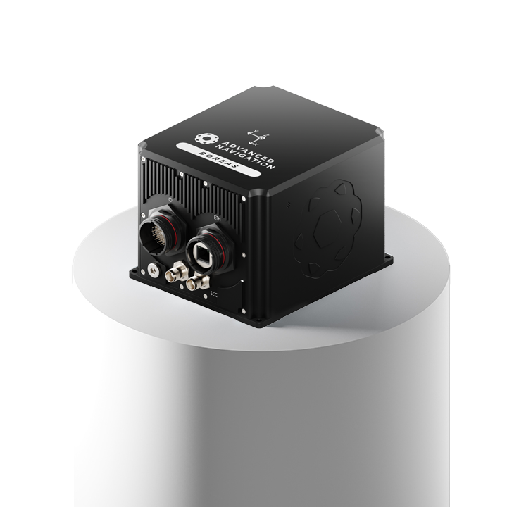
Our Solutions
We know true, uninterrupted navigation requires more than just GNSS. Our products are designed to operate in any environment, regardless of sensor drop out or degradation.

Latest News From Us
Read about our latest advancements and industry trends.

Advanced Navigation Secures US$110M Series C to Catalyze the Next Era of Autonomous Systems
Led by Airtree Ventures, with strategic participation from Quadrant and the National Reconstruction Fund Corporation (NRFC).
17 March 2026
Go to Article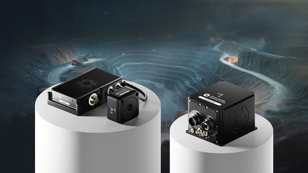
Launching Chimera Land: A Breakthrough in Uncharted Underground Mining
Chimera LAND is a 3D Laser Velocity Sensor designed for underground mining to maintain precise positioning in unmapped environments where GPS cannot reach.
23 February 2026
Go to Article
Advanced Navigation’s Inertial-Centric Intelligence Succeeds in the U.S. Army’s Contested Environment
Deploying a navigation stack that fuses inertial with novel technologies, vehicles maintained surgical precision in contested battlefield simulations.
4 February 2026
Go to Article