
How to Ensure Your C-UAS Systems Are Field-Ready
Share:
Published on:
Article Summary
The Challenge: Sub-optimal heading data can cause C-UAS systems to fail during operations, jeopardizing the mission and eroding operator confidence.
The Solution: Integrating a high-performance inertial navigation system mitigates this risk by providing reliably consistent heading reference, ensuring the “system of systems” performs accurately, even in GPS-denied environments.
The Outcome: A resilient C-UAS system that delivers on its programmatic promise to protect personnel and assets with reliable, consistent performance that justifies the investment and secures warfighter trust.
Program Managers in the defense sector are tasked with delivering integrated, multi-layered C-UAS systems that perform reliably under the most demanding operational conditions.
The challenge lies in ensuring every component in a complex ‘system of systems’ works in perfect concert, especially when mobile.
However, the integrity of the radar’s heading accuracy is a subtle but important vulnerability that often emerges during mobile operations that can undermine the entire platform architecture.
A momentary loss of accurate heading, caused by routine vehicle motion or slightly compromised GNSS, can create a cascading failure across the sensor-to-effector chain.
From a programmatic standpoint, the consequences of this single point of failure are precisely the risks that we at Advanced Navigation mitigate in terms of mission efficacy, operator confidence and programmatic value.
Why Does Mobility Create a Blind Spot for Your Radar?
Mobility is now the primary source of technical vulnerability for C-UAS radar systems. The requirement is for a mobile radar system that can safeguard tactical deployments, executive protection convoys, or law enforcement patrols as they traverse dynamic environments.
This shift introduces immense complexity. Unlike a static emplacement with predictable surroundings, a mobile platform must contend with constantly changing terrain, shifting signal environments, and the need to maintain seamless, 360-degree situational awareness while moving at various speeds.
In this mobile context, the radar of the C-UAS serves as the foundational sensor for target acquisition and engagement. It provides the long-range detection that is the first and most vital link in the counter drone functionality. It is the system’s “long-range eyes,” tasked with detecting the most challenging targets, including the low, slow, and small Group 1 and 2 drones that can easily blend into background clutter. Every subsequent action, from visual identification by an EO/IR camera to engagement by an effector, is dependent on the initial track data provided by the radar.
This is the central challenge. The very mobility that is now a core operational requirement is also the primary source of the system’s greatest technical vulnerability. A radar determines a target’s direction, or azimuth, by knowing the precise orientation of its antenna at the exact moment it receives a reflected radio wave. On a perfectly level, stationary platform, this is a simple geometric calculation. Now, place that same radar on a tactical vehicle moving over uneven ground, executing a turn, or even just braking. The platform is now in a constant state of flux, subject to pitch, roll, and yaw.
The operational demand for mobility creates a paradox that actively undermines the technical ability of the primary sensor to perform its mission, unless a specific and highly capable counteracting technology is integrated from the ground up.
What Happens When Your Radar’s Heading Drifts?
The consequences of an unstable or inaccurate heading are failures that ripple through the entire counter-UAS system, translating abstract millidegrees of error into mission failure. For you, understanding these failure modes is important to evaluating true system risk.
The first and most fundamental failure is target data corruption. A radar’s pointing accuracy is a matter of angular precision. An error in the knowledge of the radar’s own heading propagates and magnifies over distance.
This leads directly to the second failure of a broken handoff. This is the breakdown point in a modern, layered “system of systems” architecture. The sequence of failure is swift and decisive:
- The radar detects a threat but, due to an uncompensated platform tilt or yaw, calculates its position based on a faulty heading.
- It passes these incorrect coordinates to the next sensor in the chain, typically an EO/IR camera turret.
- The camera system, functioning perfectly, slews to the exact coordinates it was given. The operator, however, sees only empty sky. The target is not where the radar said it would be.
- Simultaneously, the effector, whether a high-power microwave system, a jammer, or a kinetic interceptor, is directed to the same location. The countermeasure is expended on empty air, while the real threat continues its approach unhindered.
The third failure mode is the inability to maintain a stable track lock. If the radar’s heading reference is constantly drifting due to vehicle motion, it becomes impossible to maintain a continuous lock on the target. The system gets caught in a loop of re-acquiring, losing, and misidentifying threats. This instability prevents the system from building a reliable target history, which is essential for predicting the drone’s flight path. Without a stable sensor enabling track, the system cannot reliably differentiate a threat from clutter, a bird from a drone, or a single drone from a swarm – all essential elements for contextual awareness when tracking multiple potential targets.
These failures all stem from a single root cause: the radar’s lack of a stable, independent frame of reference. To accurately track a target, the system must first know its own position and orientation with absolute certainty, especially when the platform is moving, tilting, or operating in GPS-denied environments. This is the challenge that an inertial navigation system (INS) is designed to solve, providing the positional truth needed to anchor the entire C-UAS sensor suite.
Why is an INS an Essential Component for Accuracy?
The fundamental advantage of an INS is that, after an initial alignment, it doesn’t rely on external signals. Operating on the principle of dead reckoning, it continuously measures every turn and change in speed to calculate its state relative to a starting point. This makes it resilient to GPS jamming, spoofing, and the electromagnetic interference that can cripple other sensors.
A step-change in C-UAS system performance, especially in GPS-denied environments, is achieved by treating the INS as the core of a sophisticated fusion engine. Its software intelligently fuses data from multiple sensors, dynamically weighing each input in real time based on reliability scores and operational context.
This fusion ensures continuous, high-confidence state estimation even when external signals are lost, degraded, or distorted. A high performance INS thus serves as the stabilizing foundation upon which an entire mobile sensor suite is built, delivering robust navigation performance.
Why Choose Advanced Navigation’s INS Products?
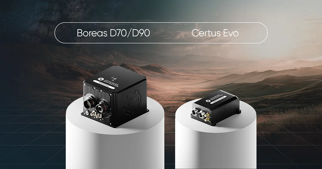
The unique demands of the mobile C-UAS mission require a navigation system such as our Certus Evo and Boreas D70/D90 to provide a comprehensive, reliable solution.
Minimizing Drift
The primary challenge for any INS operating without external aiding is the accumulation of small errors over time, known as drift. The key performance metric that governs this is gyroscope bias instability. A lower bias instability means the heading will remain true for much longer periods in a GPS-denied environment.
The Certus Evo achieves this with ultra-high-accuracy MEMS gyroscopes. For the most demanding applications where mission endurance in denied conditions is paramount, the Boreas D70/D90 leverages its Fibre Optic Gyroscope (FOG) technology. This provides military-grade performance with an exceptional bias instability of 0.01∘/hr, ensuring the heading reference remains accurate.
Resilience Beyond GPS
An operational question is what happens when a system must be deployed and become operational immediately in an area where GPS is already denied. Standard INS units can require significant time and specific maneuvers to align. The superior sensitivity of the Boreas D70/D90’s FOG technology enables ultra-fast north-seeking, also known as gyrocompassing.
By being precise enough to measure the Earth’s very slight rotation, the Boreas can find true north and establish an accurate heading within minutes of startup, with no GPS or any other external inputs required. This is a game-changing capability for rapid reaction forces and for operations in GPS-denied environments.
Ease of Integration
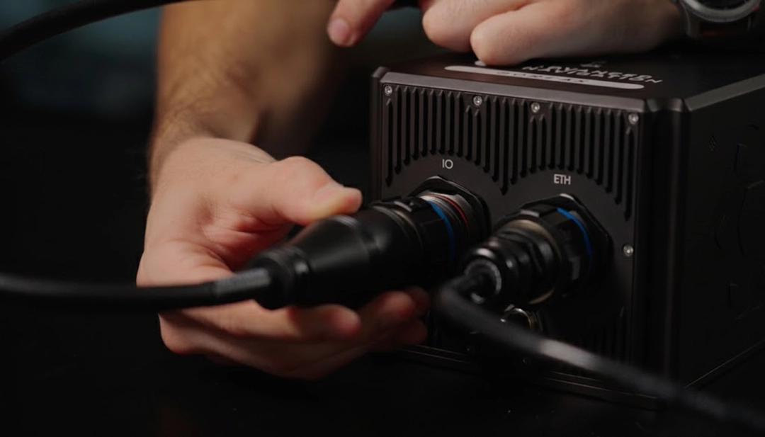
A technologically advanced component that is difficult to integrate is a programmatic nightmare. The Certus Evo and Boreas D70/90 are engineered for low SWaP-C, a key consideration for any mobile platform. They feature multiple industry-standard communication interfaces (Ethernet, CAN, RS232) and support a wide variety of data protocols (NMEA, NTP, PTP), dramatically simplifying the engineering effort required to integrate them into a broader C-UAS command and control architecture.
ITAR-Free
Unlike many military-grade INS alternatives, the Certus and Boreas series are ITAR-free. This critically eliminates US export license requirements, enabling swift integration and deployment to a global customer base.
Our vertically integrated manufacturing ensures a secure and reliable supply chain, while our agile production capabilities support rapid delivery to meet demanding program schedules. Our solutions are available in weeks or months, not years.
Optimizing Your C-UAS Systems
At Advanced Navigation, we know that the maturing C-UAS industry has reached a point where stakeholders have well-defined scenarios and demand seamless integration with their existing defense ecosystems.
The integrity of your entire C-UAS system rests on the integrity of its radar accuracy depends on heading accuracy, and heading accuracy depends on a reliable INS. An inertial navigation system from Advanced Navigation can support your program schedule, ensuring the operator trust necessary for user adoption, and optimizing the cost-effectiveness of your entire layered defense.
You are transforming a potential blind spot into a tactical advantage, ensuring your system can see, track, and defeat the threat accurately.
Contact our defense specialists today to discuss how the Certus Evo or Boreas can provide the unwavering stability your radar demands, ensuring your platform performance in every environment.
FAQs
How complex is INS integration for C-UAS systems?
Advanced Navigation’s INS solutions are specifically designed for low-risk integration into complex counter-UAS technology, featuring low SWaP-C and multiple industry-standard communication interfaces such as Ethernet and CAN. Instead of adding risk, an INS from Advanced Navigation mitigates it by providing a single, authoritative source for position, orientation, and timing that all other components can reference. This simplifies the target handoff process between the radar and effector, creating a more robust and reliable fire control loop.
Recent Tech Articles
How Improved Positional Accuracy Can Transform Mining Excavation
Explore the new standard in absolute positioning for GNSS-denied environments. See how the Chimera Land LVS and INS pairing anchors real machine motion.
15 June 2026
Go to Article
High-Precision Navigation at Scale for Counter Drone Technology
Unlock precision for your kinetic effector on-the-move. Discover how Advanced Navigation delivers the stabilization and supply chain speed needed for scalable counter drone defense.
18 May 2026
Go to Article