Acoustic signaling is a method of using sound as a means of wireless underwater communications. Acoustics are used because radio waves, light waves and satellite signals cannot travel through water for any useful distance because of signal attenuation (reduction in amplitude) due to water density.
Tag: Marine
8 September 2022
Go to Article
The Benefits of Hydrus Micro Hovering AUV Explained
Peter Baker of Advanced Navigation shares some insights into the development and technology behind Hydrus – a micro hovering autonomous underwater vehicle (micro hovering AUV) that is revolutionizing the underwater drone industry.
8 June 2022
Go to Article
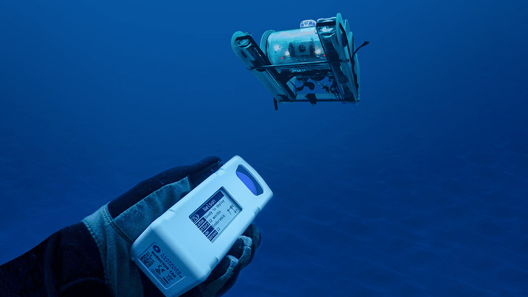
Connecting Hydrus (AUV) With The Ocean Community
Hydrus (AUV), a fully autonomous subsea drone, will revolutionize undersea research, survey and exploration by making data capture simple and accessible.
2 June 2022
Go to Article
DOF Subsea Selects Subsonus USBL/INS for Their Small-Scale ROV
DOF Subsea use dual Subsonus USBL positioning to eliminate complexities and cost of deployment for compact ROV.
30 May 2022
Go to Article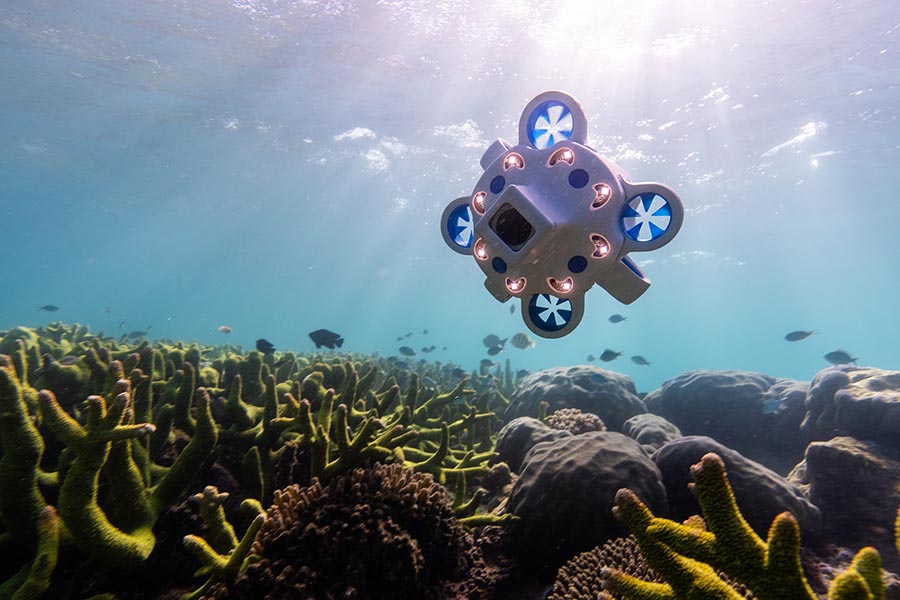
Advanced Navigation Launches Subsea Drone Hydrus, To Open New Frontiers In Ocean Exploration And Conservation
Australia, 1st April 2022 – Advanced Navigation, one of the world’s most ambitious innovators in AI robotics, and navigation technology, is announcing Hydrus – a revolution in underwater drone technology, developed to open exciting frontiers in ocean exploration around the world.
5 April 2022
Go to Article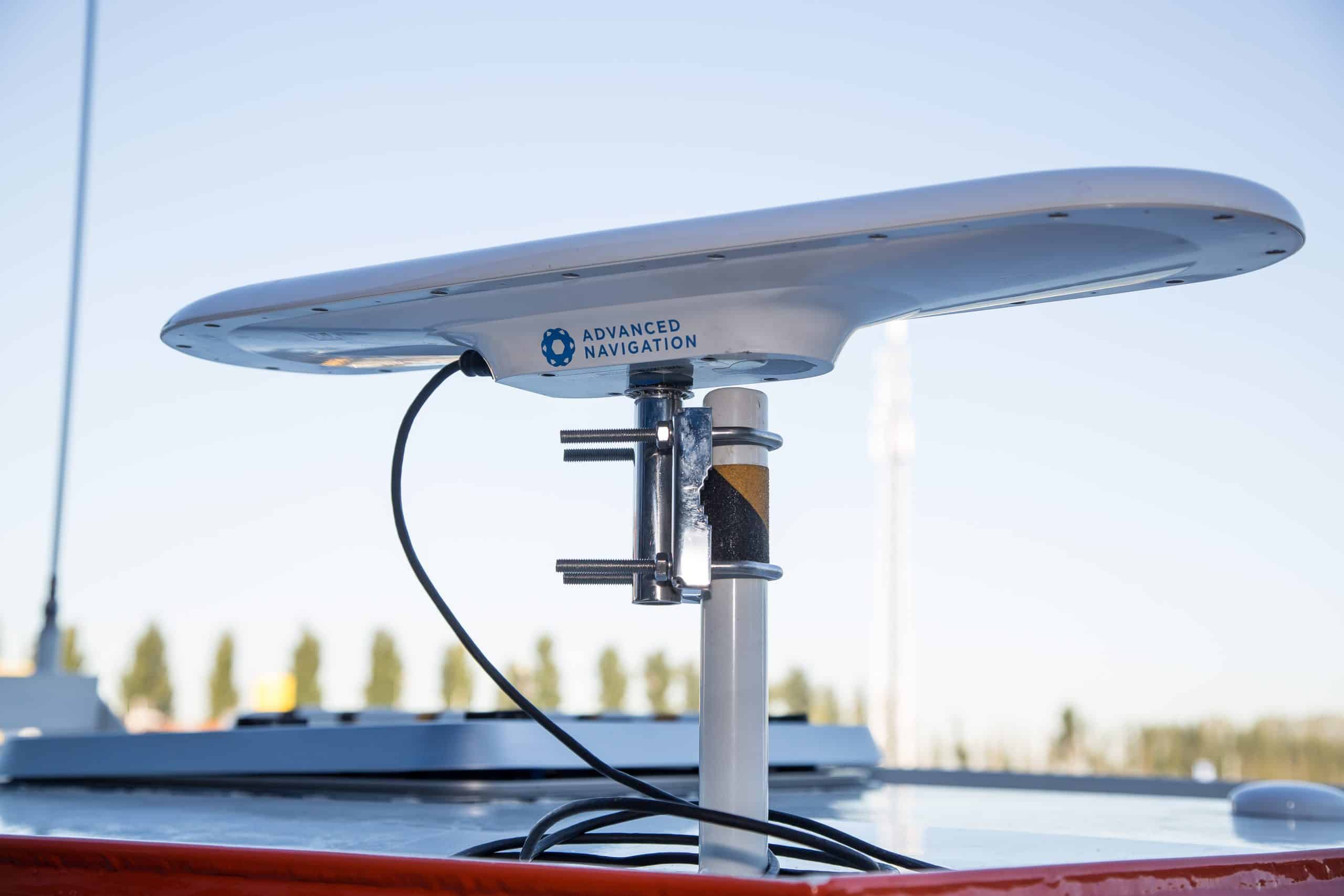
Advanced Navigation Releases Next Generation Satellite Compass
Advanced Navigation has today released the second generation of their highly successful satellite compass. GNSS Compass is a plug-and-play solution that provides accurate position, heading, and time in a self-contained unit.
20 October 2021
Go to Article
Subsonus USBL Helps Geosurvey Mexicana Access New Markets
Geosurvey Mexicana is now able to tap new markets with Advanced Navigation’s Subsonus USBL for an accurate underwater positioning system.
28 September 2021
Go to Article
Methods of Heading in Navigation
There are several methods to determine heading in navigation when using an Attitude Heading Reference System (AHRS) or an Inertial Navigation System (INS). As such recommending an appropriate heading source should be based on typical application requirements. These are indicative but should be evaluated fully for individual applications.
18 September 2021
Go to Article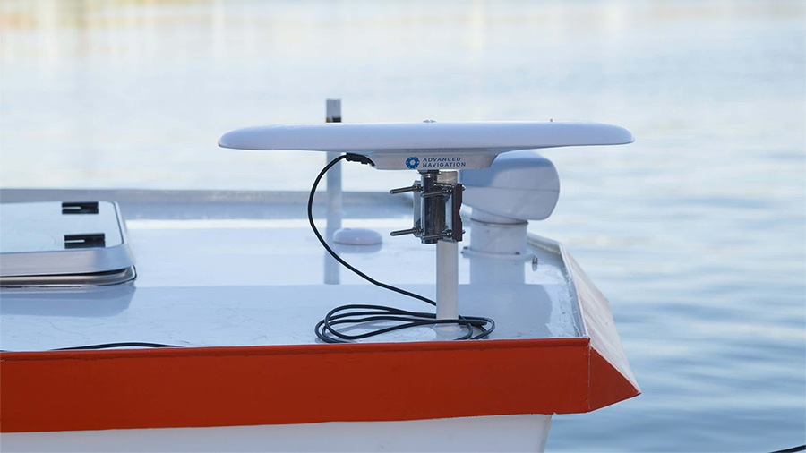
Nortek Uses the GNSS Compass for Its Next Surveying Solution
Nortek uses Advanced Navigation GNSS Compass for accurate heading to assist ADCP in their new survey package. See our GNSS Compass in action!
1 September 2021
Go to Article
Team Desert WAVE Takes 3rd Place at Robosub 2019 With Subsonus USBL
The Desert Wave teams finishes 3rd at Robosub 2019, thanks to a Subsonus USBL provided as part of a sponsorship for their UAV.
3 August 2021
Go to Article