
Learn how Advanced Navigation’s vertically integrated manufacturing ensures you receive the highest quality of navigation products.
Tech Articles

Accelerating Deployment of Resilient Counter-UAS Technology
Discover how Advanced Navigation’s INS empowers resilient counter-UAS technology and rapid deployment.
8 December 2025
Go to Article
Why Cost Effective All-Band GNSS/INS is Key to Operational Efficiency
Learn how all-band GNSS technology overcomes signal loss to maximize your mining fleet’s uptime and productivity.
1 December 2025
Go to Article
How a New Underground Positioning System Could Fix the Ore Reconciliation Puzzle
Discover how a proven underground positioning system creates a verifiable digital chain of custody, improving ore reconciliation and grade control.
18 November 2025
Go to Article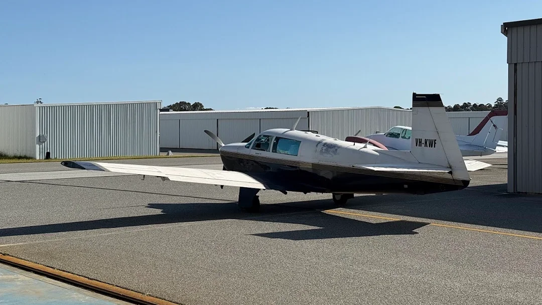
Real Flight Data, Real Results: Demonstrating INS Aiding Tech for GPS-Denied Navigation
Successfully demonstrating the benefits of fusing inertial navigation systems with aiding technologies for assured PNT.
14 November 2025
Go to Article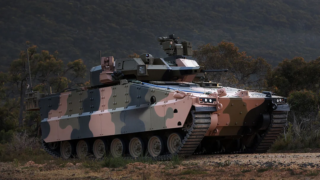
Why GNSS Jamming Demands a New Approach for Armored Fighting Vehicles
Find out how our INS products deliver assured PNT without the multi-year lead times of traditional procurement.
9 November 2025
Go to Article
How ITAR-Free Navigation Shortens Your Delivery Timeline
At Advanced Navigation, our products are designed and manufactured without ITAR controlled components, reducing risk to your supply chain for navigation systems.
3 November 2025
Go to Article
How to Ensure Your C-UAS Systems Are Field-Ready
Mobile C-UAS systems can fail in GPS-denied environments due to radar heading drift. Learn how an INS provides the stability needed for reliable drone detection.
27 October 2025
Go to Article
Is Your Current Navigation Choice Compromising Your Assured PNT Strategy?
Find out how our INS products deliver assured PNT without the multi-year lead times of traditional procurement.
15 October 2025
Go to Article
Are You Sacrificing Radar Deployments Due To INS Constraints?
The INS is critical to your mobile radar system’s performance. Explore how our ITAR-free FOG INS delivers reliable accuracy with low SWaP-C.
13 October 2025
Go to Article