IMU & AHRS
High-Performance and Compact Inertial Sensors
Advanced Navigation is a leading manufacturer of inertial measurement units (IMU) & attitude and heading reference systems (AHRS). Our IMU & AHRS deliver precise position, velocity, acceleration, orientation measurements while withstanding the most demanding conditions.
Enquire Now

Trusted by the world’s most innovative companies
Our IMU & AHRS Solutions
Enquire Now
From industrial to tactical grade, our IMU & AHRS devices offer the lowest SWaP-C (Size, Weight, Power, and Cost) in each class. All Advanced Navigation IMU & AHRS use a common communication protocol, enabling customers to extend their product range by moving up or down the accuracy spectrum without incurring re-engineering costs.
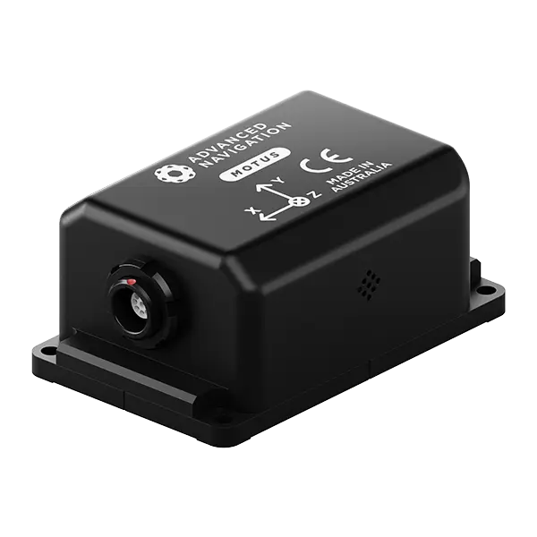
Attitude and heading reference system
Roll & Pitch
0.1 °
Heading (Magnetic)
0.8 °
Update Rate
1000 Hz
View Solution
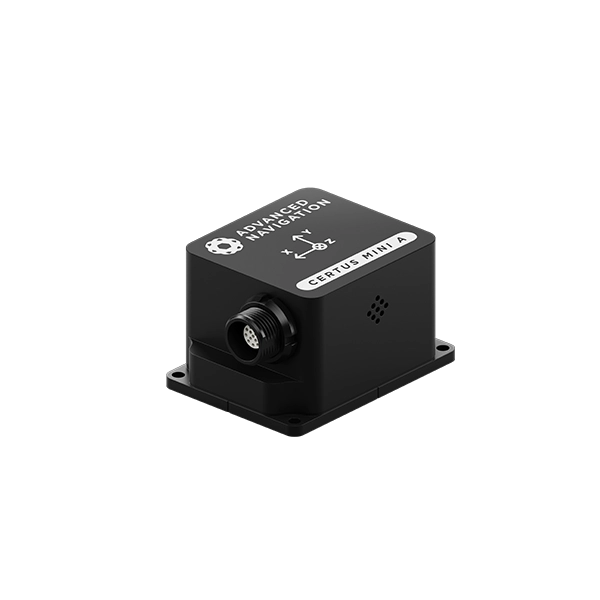
Ultra-high accuracy MEMS IMU
Roll & Pitch
0.05 °
Heading (Magnetic)
0.8 °
Bias Instability
0.2 °/hr
Update Rate
1000 Hz
View Solution
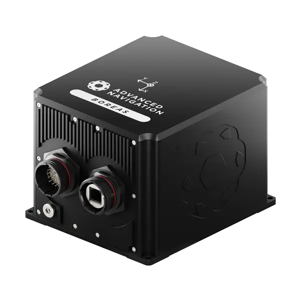
Boreas A70 & A90
Ultra-high performance FOG IMU/AHRS
A70
A90
Roll & Pitch
0.01 °
0.005 °
Heading (Gyrocompass)
0.1 ° seclat
0.01 ° seclat
Bias Instability
0.01 °/hr
0.001 °/hr
Output Rate
1000 Hz
1000 Hz
View Solution
Our IMU & AHRS Features
ITAR-Free
Advanced Navigation IMU & AHRS are ITAR-free, backed by a global support network, and suitable for both commercial and defense applications.
Deliver Highest Performance
Our sophisticated algorithms enable our IMU & AHRS systems to deliver the highest performance for the lowest SWaP-C (Size, Weight, Power Consumption, and Cost).
Rigorously Tested
Our IMU & AHRS devices are rigorously tested and subject to an eight-hour temperature calibration process. This ensures the highest accuracy possible for each sensor class over the full operating temperature range (-40° C to 85° C).
Common Communication Protocol
All Advanced Navigation MEMS-based IMU & AHRS use a common communication protocol, enabling customers to extend their product range by moving up or down the accuracy spectrum without incurring re-engineering costs.
High Dynamic Performance
The IMU & AHRS range covers accuracy grades from industrial to tactical. An internal filter rate of 1000 Hz ensures high dynamic performance in the most demanding applications.
Applies Vertical Integration
Advanced Navigation designs, manufactures, and tests all critical components in-house. This vertical integration ensures complete quality control, optimized system performance, and reliable supply chain management.
Our IMU & AHRS Are Suitable For Most Applications
Marine Surveying
Land Surveying
UGVs
Gimbal Stabilization
Antenna Targeting
Surveying
Robotics
UAVs
Solutions in Operation
Of Total Revenue Invested in R&D
Countries Sold To
Clients Trust Us
Global Leader in Navigation and Autonomous Systems
By leveraging capabilities in software-enhanced hardware, every solution delivers unrivaled capabilities and exceptional performance across land, air, sea and space applications where GPS is unreliable.
Made possible with extensive research, testing and vertically integrated manufacturing, the company has progressed into deep technology fields, including robotics, inertial, photonic and quantum sensing, artificial intelligence, underwater acoustics, and GPS antennas and receivers. Customers choose Advanced Navigation for rapid product delivery and unmatched technical field expertise.
Headquartered in Sydney, Australia, with research and production facilities nationwide and offices globally. Advanced Navigation is an Australian manufacturer exporting worldwide.
More About Us
Common Questions about IMU & AHRS
What is an Attitude and Heading Reference System (AHRS)?
AHRS stands for Attitude and Heading Reference System. Attitude refers to an object’s orientation relative to the horizontal plane that is parallel to the horizon. This is often described as pitch and roll.
Heading is the direction a vessel is pointing towards relative to True North.
An AHRS is often used in aircraft and can also be used as a navigation aid for ground-based robots. Other uses for AHRS include measuring human movement by sports scientists.
How does an AHRS work?
An AHRS is comprised of IMUs (inertial measurement unit) on three orthogonal axes (commonly referred to as X, Y and Z). Typically these IMUs contain:
- Accelerometers
- Gyroscopes
- Magnetometers
Accelerometers measure the linear force acting on the vehicle. This includes gravity, which is used to determine the orientation of the vehicle with respect to the centre of the Earth.
Gyroscopes measure the rotational force acting on the vehicle.
Magnetometers measure magnetic fields. If the position of the vehicle is known, the vehicle heading relative to magnetic north can be determined. Heading relative to True North can also be found due to the known declination value.
Additional sensors can be incorporated to assist an AHRS. A common addition is the use of a dual antenna GNSS receiver (global navigation satellite system). By using two GNSS antennas the vehicle heading can be determined to a much higher accuracy.
If minimal SWaP-C is not required, higher accuracy gyroscopes based on fibre optic technologies (FOG) can dramatically increase attitude and heading accuracy.
Why use heading reference systems?
AHRS are often made from micro-electromechanical systems, or MEMS. Therefore the compact and lightweight nature of an AHRS allows it to be used in vessels that require a small SWaP-C (size, weight, power and cost).
This small SWaP-C makes AHRS ideal for unmanned aerial vehicles (UAV) which need accurate measurements but can’t carry an instrument that is heavy or bulky.
Typically an AHRS is used for:
- Surveying
- Autonomous manufacturing robots
- Underwater navigation
- Surface marine navigation
- Tracking human movement for sports science
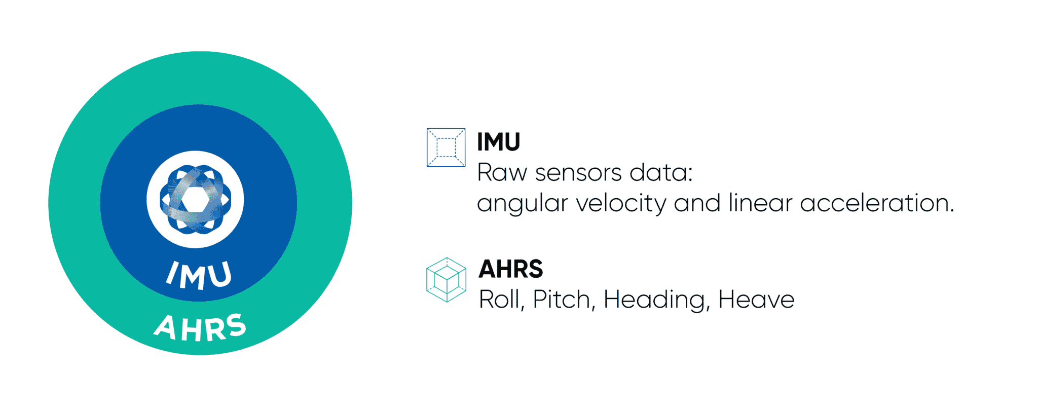
What is the difference between an Inertial Navigation System (INS), Attitude & Heading Reference System (AHRS) and Inertial Measurement Unit (IMU)?
The output of an IMU is raw sensor data from the accelerometer (linear acceleration), gyroscope (rotational rates) and optionally a magnetometer (magnetic heading).
This information can be used for measuring the motion of an object in 3 dimensions (for example, am I pointing up and how fast am I spinning). An attitude heading and reference system (AHRS) contains an IMU, however, it also has onboard processing that applies filtering/sensor fusion to the IMU data to accurately determine the orientation (represented as roll, pitch and heading/yaw), velocity and relative position.
An AHRS coupled with a global navigation satellite system (GNSS) that provides absolute position and velocity information is referred to as an inertial navigation system (INS). An INS fuses AHRS and GNSS information to provide a very reliable representation of a system’s absolute position, orientation and velocity.