Tech Article


Published on:
Advanced Navigation recently concluded its 2023-24 Student Grant Program.
The Program is designed to motivate and financially support high-achieving engineering students with their studies and career development. This year, we asked applicants to envision an autonomous system that would improve human lives. The question inspired some out-of-world innovation ideas – from medical drones and underwater robots to waste management systems and space debris cleaners.
This year’s winner goes to Michael Grieco from Columbia University. Michael’s essay demonstrated creativity and originality while addressing a vital challenge in society. In addition, it demonstrated an impressive understanding of engineering knowledge, rooted in logic and practicality.
Advanced Navigation would like to congratulate Michael for this well deserved recognition. He will be awarded a grant prize of USD $5,000 to support his studies and career development in the engineering field.
Michael Grieco from Columbia University
Master’s of Science Degree in Computer Engineering
In Michael’s educational career, he has been focusing on computer systems in general and those relating to navigation systems. As part of his minor in aerospace engineering, he took a course in satellite navigation systems, completing a project about optimizing a computer processor for redundancy calculations for positioning. Michael took time sorting through minute details, and ended up demonstrating how a simple yet novel processor design could deliver accurate results. He also participated in a research group on edge computing, where he implemented a system for over-the-air updates on embedded devices.
Read Michael’s essay below:
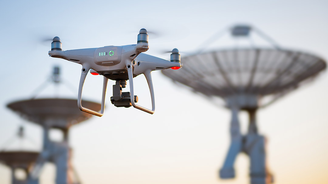
Given experience in satellite navigation systems and embedded device networks, I would implement a system to coordinate autonomous drones using navigation data for natural disaster response. This system allows computers to be able to rapidly navigate to areas unsafe for humans, namely wildfires, earthquake epicenters with massive debris, or nuclear radiation sites. The autonomy of this serves as an initial guide for subsequent human actions for containment or search and rescue.
This would require both a sensing station and a response station. The sensing station determines where natural disasters or other extraneous events occur relative to the base station. Event data can originate from seismograph stations, ground imaging satellites, or humans issuing custom destinations. Combining that with real time navigation data from navigation satellites yields the global position of that event. With detected events, the sensing station can issue commands to autonomous vehicles in the response station, specifically drones due to their advanced mobility. These vehicles use the command as a target position and will navigate to the target also using real time navigation data.
Drones are small and fast, hence can navigate through tight obstructed areas. In using navigation data, the drones can do this autonomously, and would only need human intervention for further commands once they are on-site. Given there is a coordinated network of drones, the drones can divide and conquer surveillance of the target area. With custom programming, the division strategies can adapt to various environments. For example, during a wildfire, some drones may be tasked with observing how the fire spreads while others may travel nearer to the ground to locate trapped humans or animals. Even with an unplanned event, humans can program response strategies in real-time and upload the new commands to the drones while they are traveling.
The broadcast signals from navigation satellites can provide a high level of accuracy, but the ground stations can improve the accuracy by taking concepts from the USA’s Wide Area Augmentation System. The ground sensing stations can issue correction and integrity information to the drones, allowing them to detect which satellites are faulty through fault-tolerant algorithms like Receiver Autonomous Integrity Monitoring. This is entirely possible given the above system organization. As a beneficial consequence, the ground sensing stations incorporate detection of malicious jamming and spoofing into the integrity data broadcast to the drones. Since those algorithms use integrity data for fault detection and exclusion, the drones ignore spoofed signals, ensuring high accuracy even in the presence of malicious users. This accuracy also applies to the time synchronization that using satellite navigation signals provides. Synchronization is crucial for autonomous systems, especially those coordinating to achieve their goal.
The above system has the potential to give humans an effective first response to natural disasters and life-threatening situations without endangering further human lives. Its autonomy affords humans more time to plan strategies for recovery and remediation. The system uses existing networks to provide real-time information that is accurate and reliable. More importantly, it has the capabilities to extend and adapt to many important applications.
Written by Michael Grieco, 2024

20 May 2025
Go to Article
30 March 2025
Go to Article