Magnetometer
Share:
What is the definition of magnetometer?
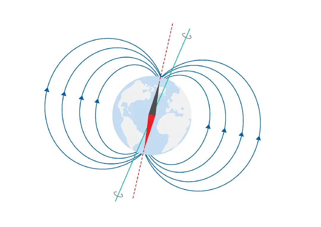
Detects and measures the strength and direction of the Earth’s magnetic fields and WMM data in order to determine heading relative to magnetic North.

The red axis depicts “magnetic north” as it is aligned with the Earth’s magnetic fields. The blue axis represents “true north” as it is the actual axis that the Earth spins around.
