Tech Article

Published on:
The World Runs on GPS. Until it Doesn’t.
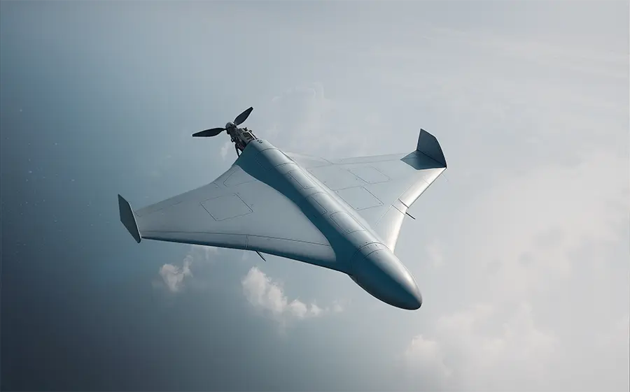
GPS is arguably one of the most powerful and transformative technologies of the modern era. It guides planes, ships, and trucks. It synchronizes financial markets, power grids, and telecom networks. It helps farmers plant with precision and enables emergency services to respond faster. It’s embedded in defense systems, mining vehicles, and autonomous drones.
So, what happens when it stops working?
In a Black Mirror-esque style, The Collapse portrays a near-future world where our overreliance on GPS (as a single technology) triggers cascading failures across agriculture, mining, defense, finance, transport, and emergency response. The video presents a chilling “what if” scenario that exposes the fragility of modern infrastructure and the urgent need to change course.
Is this fiction? Yes. Is it far from reality? Perhaps not.
According to the International Air Transport Association (IATA), GPS spoofing incidents surged by 500% and interference rates rose by 175% between 2023 and 2024.
The vulnerabilities of GPS are already unfolding in the real world, with consequences emerging across industries.
GPS was designed for a different era – one with fewer threats and lower demands. It was never meant to shoulder the weight of our modern infrastructure alone.
Today, GPS is increasingly exposed to:
This growing list of vulnerabilities makes one thing clear: GPS alone is no longer a reliable source of truth.
Does GPS still matter? Yes.
GPS will remain a cornerstone of modern infrastructure – but treating it as the single source of truth is a risk we can no longer afford. To protect critical systems and future-proof our operations, we must transition from GPS-only to a multi-sensor, inertial-centered architecture – built for resilience, precision, and real-world adaptability.
Our approach:
1. INS at the Center of Every Decision
At the center of every reliable navigation platform is a trusted source of truth – the Inertial Navigation System (INS). Built with ultra-sensitive sensors capable of detecting Earth’s rotation, it provides consistent position and attitude data, independent of satellite signals.
Inertial Navigation in a complex terrain with GPS loss
2. Modular Sensor Stack
Layering complementary sensors – optical, magnetic, radar, sonar, LiDAR – tailored to the mission builds redundancy and enhances accuracy, survivability, and adaptability in any environment.
Inertial Navigation + Modular Sensor Stack in a complex terrain with GPS loss
3. AdNav OS Fusion
Drawing on sophisticated algorithms, AdNav OS Fusion intelligently interprets and filters sensor data in real time.
It dynamically weighs each sensor input – adjusting in real time based on reliability scores, environmental conditions, and operational context. This ensures continuous, high-confidence state estimation even when signals are lost, degraded, or distorted.
Inertial Navigation + Modular Sensor Stack + AdNav OS Fusion in a complex terrain with GPS loss
This architecture is built to work with both Advanced Navigation and third-party systems, our platform is plug-and-play, reducing integration time and enabling faster deployment.
The future of navigation lies not in reliance on a single technology, but in the integration of a diverse and adaptable suite of sensors.
Advanced Navigation’s recent demonstrations, integrating a high-performance fiber-optic gyroscope (FOG) inertial navigation system (INS) with a Laser Velocity Sensor (LVS) aid for a fused Hybrid navigation system, proved to achieve superior resilience in GPS-denied environments. Read more in our whitepaper.
The question isn’t if GPS will fail. It’s when. And when it does, what will systems fall back on? As our world becomes more automated, connected, and contested, we must evolve our navigation infrastructure.
The future belongs to systems that are intelligent, modular and built for resilience.
Let’s build that future together.
20 May 2025
Go to Article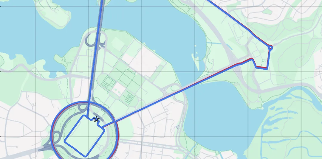
30 March 2025
Go to Article