
Are You Sacrificing Radar Deployments Due To INS Constraints?
Share:
Published on:
Article Summary
The Challenge: Mobile radars are often forced to compromise between achieving mission-critical pointing accuracy and meeting the restrictive SWaP-C budgets of modern tactical platforms, which ultimately limits overall system capability.
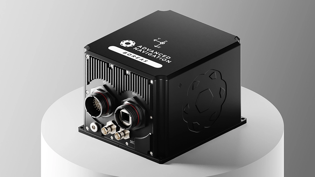
The Solution: Advanced Navigation’s Boreas D70 and D90 INS utilizes a FOG architecture to deliver pointing accuracy at a 40% lower SWaP-C than comparable legacy systems.
The Outcome: Mobile radar systems can benefit from extended mission endurance, simplified integration, and retain accuracy in GPS-denied environments.
You have two choices in front of you.
Use a bulky inertial navigation system (INS) to achieve the pointing accuracy your mobile radar needs, but blow your SWaP-C budget and limit your choice of platform application.
Or, use a small navigation system to meet the platform’s SWaP-C constraints, but sacrifice the performance, rendering your mobile radar far less effective at range.
Both options are compromises.
Both force you to leave capability on the table.
This trade-off has been an accepted, if challenging, reality of mobile radar design searching for the right navigation solution.
With Advanced Navigation, our inertial navigation solutions are designed to meet both radar accuracy requirements and SWaP-C targets.
Platforms Are Shrinking, Performance Requirements Are Not
Today’s defense and national security landscape demands high-performance mobile radars on everything from tactical UAVs and autonomous ground vehicles to small, agile naval craft.
When you are forced to allocate a disproportionate share of a platform’s SWaP-C budget to the INS, a zero-sum game ensues. To accommodate the bulky, power-hungry navigation system, cuts must be made elsewhere, such as a smaller mission computer or a less capable electronic protection suite.
The high SWaP-C of the INS, therefore, does not merely make the radar subsystem heavy, but actively prevents the integration of other essential capabilities onto the same platform.
A New Way Forward
Unlike legacy systems that rely on sensitive components, Advanced Navigation’s FOG (Fiber-Optic Gyroscope) addresses the primary sources of heading accuracy, and, most importantly, the size and power consumption that made previous high-performance systems so cumbersome.
Compared to legacy ring laser gyroscopes and FOG systems offering similar performance, the Boreas D70 and D90 deliver reliable pointing accuracy with a 40% reduction in SWaP-C. As a fully ITAR-free solution, Boreas eliminates export licensing delays and simplifies integration for international programs and partners.
Unlock New Platforms
On an uncrewed aerial vehicle (UAV), every gram impacts endurance. The low weight of our Certus Evo for example allows a smaller platform to carry a radar system previously reserved for much larger aircraft. This weight saving can be reallocated to fuel for longer missions or additional sensors, enhancing the platform’s multi-role capability.
Within the tightly packed hull of an autonomous ground vehicle (UGV) or the mast of a small naval craft, physical volume is at a premium. The compact form factor of the Boreas D70 and D90 frees up critical space, enabling the development of more capable, densely packed sensor payloads.
Extend Mission Endurance
For battery-powered platforms, power consumption is the primary constraint on mission duration.
The low power draw of the Boreas D70 and D90 reduces the constant drain on the platform’s batteries. Over a multi-hour ISR mission, this preserves a significant amount of energy, which can extend a mission and allow an asset to remain over a target area for longer.
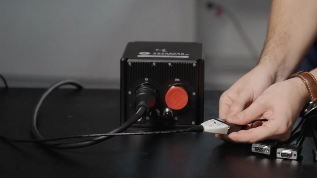
Simplify Integration & Increase Reliability
The compact and efficient design of the Boreas D70 and D90 simplifies the entire engineering process, resulting in a more robust and dependable final system.
The lightweight form factor of the Boreas allows them to be more easily co-located with the radar antenna’s phase center. This proximity drastically reduces “lever arm” errors, simplifies stabilization algorithms and improves pointing accuracy without complex software compensation.
Advanced Navigation systems are designed to be software and hardware agnostic, featuring a flexible interface and comprehensive software development kit. This interoperability ensures seamless communication with your existing mission computer and radar processing suite, regardless of the operating system or architecture.
Field More Capable Systems, Faster
The Boreas D70 and D90 are designed to simplify mechanical and electrical integration, so your teams spend less time on custom design work. This reduction in non-recurring engineering costs can free up program budgets for other critical areas.
The Boreas D70 and D90 help compress the design-build-test cycle by removing common integration roadblocks. Teams can move more quickly from prototyping to field testing, shortening the overall timeline from concept to deployment and delivering a technological advantage faster.
This accelerated timeline is further supported by Advanced Navigation’s vertically integrated manufacturing process. We know a secure supply chain is at the top of your list, so we offer rapid production and delivery schedules, moving your program from prototype to fielded capability without the delays common to traditional component procurement.
Resilient in GPS-Denied Environments
The Boreas D70 and D90 allow platforms including UAVs and UGVs to maintain assured PNT (Position, Navigation, and Timing) accuracy after losing satellite navigation. This ensures the mobile radar can continue to generate accurate, actionable target coordinates.
This capability, once reserved for strategic assets, is now available at the tactical edge thanks to the performance and efficiency of the Boreas D series.
An INS That Meets Your SWaP-C Requirements
For years, system performance has been dictated by the physical limitations of legacy INS technology, forcing every program into a painful compromise on either capability or platform.
That era is officially over.
The question is no longer if you can achieve high-performance pointing accuracy on a SWaP-constrained platform, but how you will rapidly adopt that new capability to deliver a decisive advantage in the field. Programs that embrace this shift will out-perform, out-maneuver, and out-last those that remain tethered to the trade-offs of the past.
Schedule a consultation with our integration specialists to see how Boreas can unlock the true performance of your next mobile radar design.
FAQs
How does Boreas handle the high dynamics of a moving vehicle or UAV to ensure our radar can maintain a stable track on targets?
Boreas provides navigation data at an extremely high rate with low latency, and its rugged design offers superior vibration rejection. This performance is assured in all conditions, as Boreas is a ruggedized unit certified to MIL-STD-810H for shock and vibration and sealed to an IP67 standard. This allows your system to maintain a clear, stable radar picture and prevent track loss during aggressive platform maneuvers.
If our platform loses GPS, how does the low drift rate of Boreas directly impact the geolocation accuracy of our mobile radar’s targets?
In a GPS-denied environment, the radar relies entirely on the INS for the platform’s own position and heading to calculate a target’s geographic coordinates. Boreas’s low drift minimizes the rate at which positioning errors accumulate over time. This ensures the target’s calculated coordinates remain reliable and actionable for a significantly longer duration, which is critical for fire control or passing targeting data to other assets.
How does Advanced Navigation provide integration support?
We see support as a partnership designed to enhance your program. You get direct access to our in-field application engineers who work with your team to resolve integration challenges efficiently. This responsive, expert-level support ensures your system performs reliably from the lab to the field and helps keep your project on schedule.
Recent Tech Articles
How Improved Positional Accuracy Can Transform Mining Excavation
Explore the new standard in absolute positioning for GNSS-denied environments. See how the Chimera Land LVS and INS pairing anchors real machine motion.
15 June 2026
Go to Article
High-Precision Navigation at Scale for Counter Drone Technology
Unlock precision for your kinetic effector on-the-move. Discover how Advanced Navigation delivers the stabilization and supply chain speed needed for scalable counter drone defense.
18 May 2026
Go to Article
Navigating the Future of Mining Operations
Discover how to improve product quality in manufacturing through Advanced Navigation's rigorous supply chain and exhaustive validation.
5 May 2026
Go to Article