Trusted by


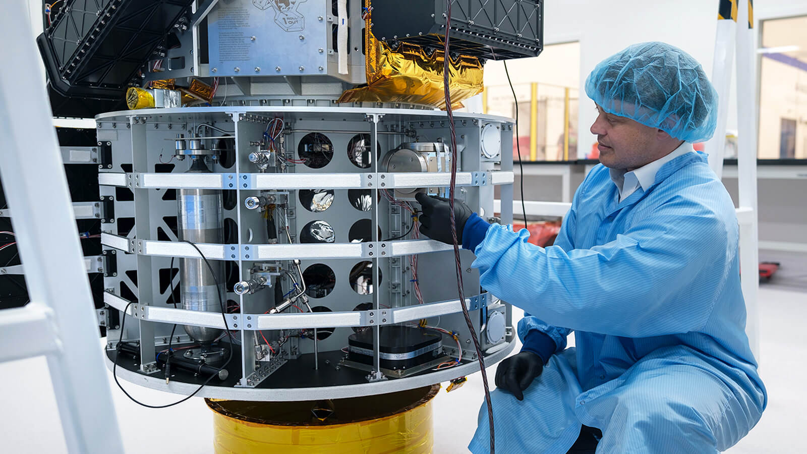
Roadside Assistance in Space
In partnership with Space Machines Company, we are equipping Optimus – an Orbital Service Vehicle (OSV) designed to inspect, repair and safeguard vital space infrastructure that our modern lives and space economy depend upon.
The Boreas X90, a space-grade inertial navigation system (INS), is a critical instrument to optimize the vehicle’s maneuvers within and between orbits, providing precise orientation and positioning.
Read More
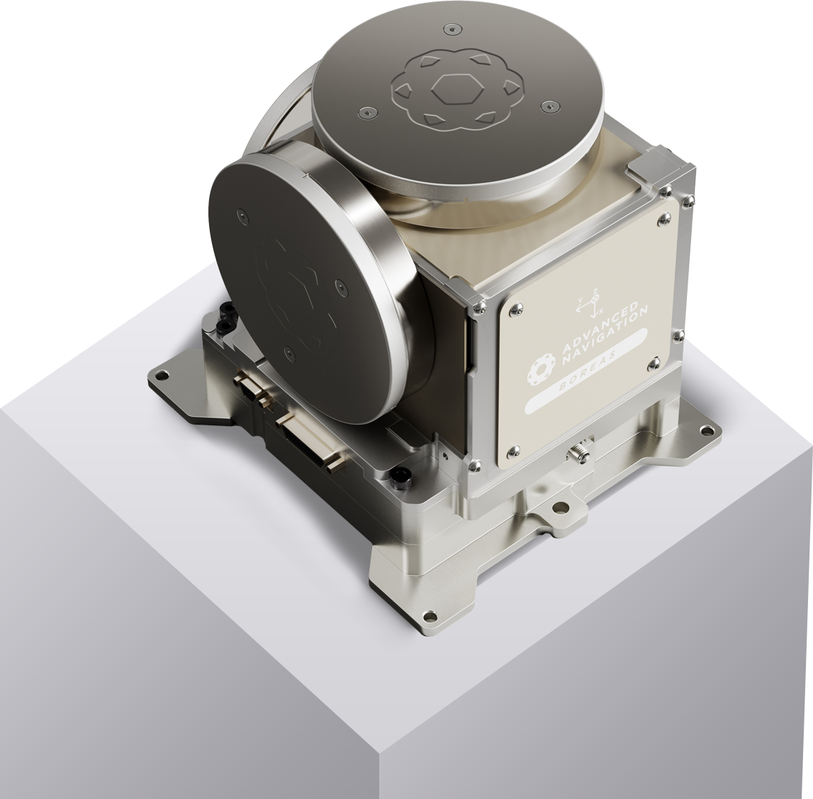
Boreas X90
Low Mass, High Precision in Orbit
Boreas X90 was born from the quest to make spacecraft lighter and more fuel efficient, allowing them to accommodate greater payloads onboard, such as research instruments, rovers and satellites – or like aircrafts, better onboard entertainment systems for passengers.
Featuring cutting-edge digital fibre optic gyroscope (DFOG) technology Boreas X90 delivers the ultra-accuracy needed in space, without having to rely on fixed references, such as stars, or base station control telemetry. Its lightweight and compact size makes it vital for long endurance space missions involving complex orbits and trajectories.
Read More
Leaving Our Print on the Lunar Surface
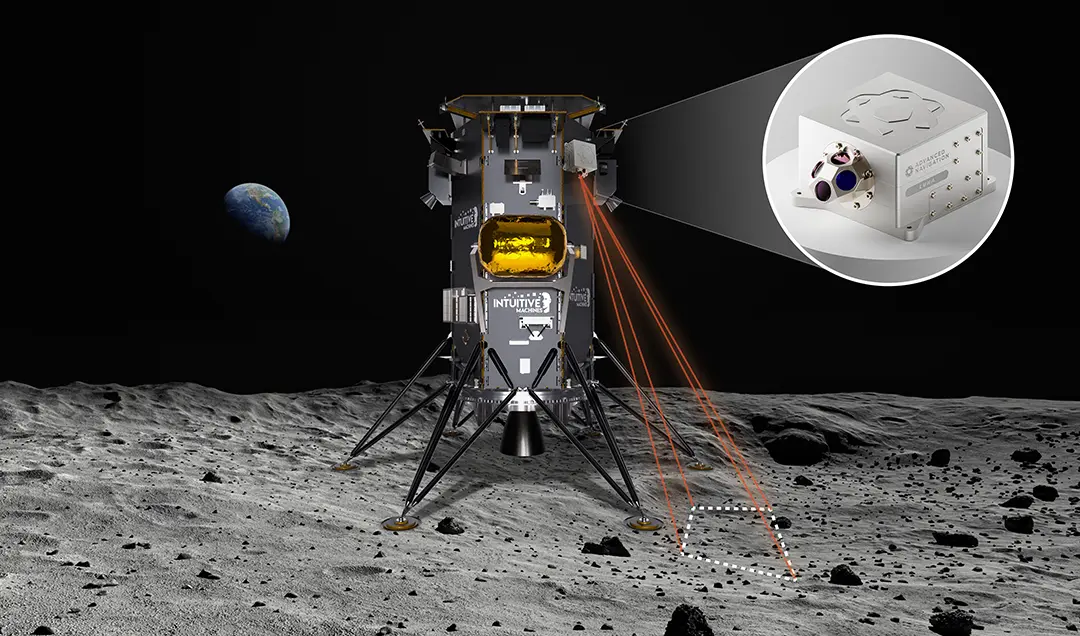
As part of NASA’s Commercial Lunar Payload Services (CLPS) program, Advanced Navigation is gearing up to deliver a space-grade Laser measurement Unit for Navigation Aid (LUNA) sensor to US-based space company, Intuitive Machines. Onboard its Nova-C lander, the sensor will improve the safety and reliability of autonomous landing maneuvers during the final descent to the lunar surface.
Read More
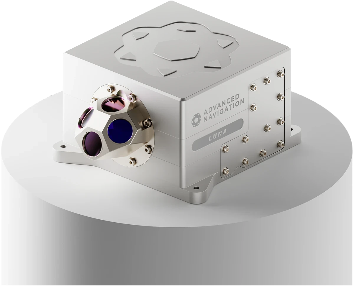
LUNA – Laser Measurement Unit for Navigational Aid
Advanced Navigation’s light detection altimetry and velocimetry (LiDAV) system uses lasers to measure several parameters detailing a vehicle’s environment. Most importantly, it can determine the vehicle’s velocity and position relative to the lunar surface in 3D with extreme accuracy and precision.
When visual references are unavailable and cameras are obstructed by dust and other obscurities, LUNA will provide the primary navigational input. This technology is critical to performing precise soft landing procedures and exploring the lunar surface with confidence.
Read More
From Down Under to the Moon Above
Advanced Navigation is supported by industry and government leaders working in space.
Enrico Palermo, Head of the Australian Space Agency said, “Our Moon to Mars initiative provides Australian companies with the opportunity to showcase their knowledge and capabilities in projects that can support NASA in its inspirational endeavors. This is just one example of how Australia is collaborating with NASA on its Artemis program and is building on over half a century of collaboration in space.”
The Meteoric Impact on Earth
Space is but one frontier, these technologies will have several applications on Earth.
In the future, Boreas will bridge quantum sensing with fibre optic gyroscopes to increase the possibilities across surveying, mapping, and navigation across subsea, marine, land and air applications.
LiDAV will aid aircraft during takeoff and landing and guide passenger drones, ensuring people reach their destination safely. It will also navigate autonomous vehicles reliably under all conditions and build geophysical models from gravitational surveys.
Ultimately, new technology fosters new discoveries that lead to innovative applications. Our end goal is to extend human capabilities to build a more resilient and sustainable future, with safer outcomes, on and off our planet.
The Latest News in Space

Why it’s Time to Rethink Our Reliance on Satellite Navigation
20 May 2025
Go to Article
Welcoming Head of Product to Dominate Innovation Across Navigation and Autonomy
16 February 2025
Go to Article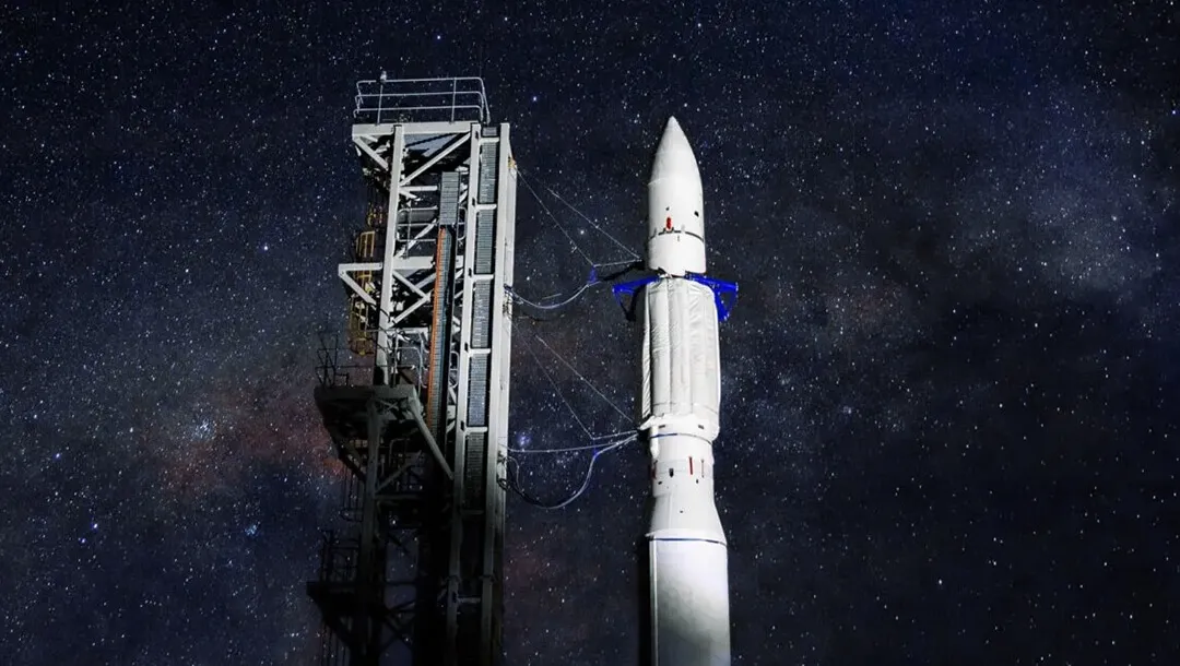
Developing Precision Navigation for Rocket Launches
2 February 2025
Go to Article
Digitally Encoded Doppler Ranging and Velocity – A New Paradigm in Laser Based Measurement
25 May 2024
Go to Article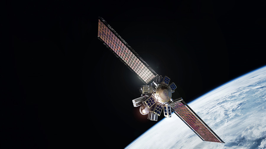
Roadside Assistance in Space: The Launch of Optimus and Boreas X90
21 February 2024
Go to Article

Moon-bound manufacturer says prestige projects help remedy skills shortages
31 October 2023
View Full Media