Hydrus is a micro hovering AUV that makes underwater surveying easy and affordable.
Webinar
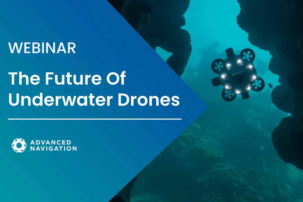
The Future of Underwater Drones
Join Peter Baker and Morgan McDermont from Advanced Navigation to learn how Hydrus is disrupting the Autonomous Underwater Vehicle (AUV) industry. The drone revolution is happening, in the deep! Our hosts take you through the whole product journey, from inspiration and design philosophy to technical challenges and innovative capabilities.
Watch Now
Peek under the hood
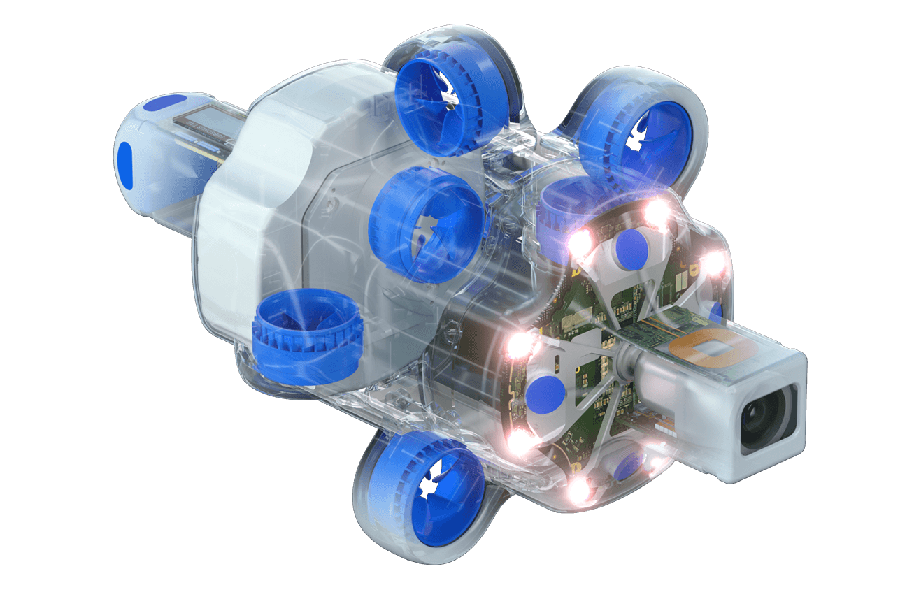
E-ink screen
Hubless thrusters
USBL positioning & Acoustic modem
Forward facing sonar
Smart lighting system
AI Powered navigation system
Wireless charging
4K 60 FPS Camera
Key Numbers
300m
Depth Rating
4K@60FPS
Video Resolution
1.5km
Range
2hrs
Endurance
Truly Autonomous
Hydrus takes the drone revolution underwater, with the most advanced navigation and communication systems of any subsea vehicle. It contains a DVL, USBL, INS, acoustic and optical modem, all tightly integrated. This enables highly reliable, fully autonomous underwater missions at your fingertips. It also provides obstacle detection and collision avoidance.
Stunning Imagery
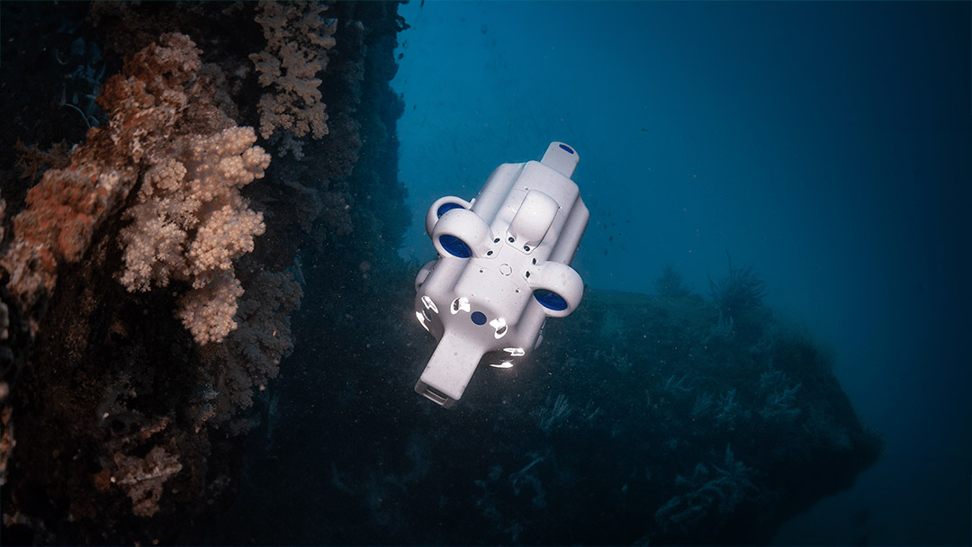
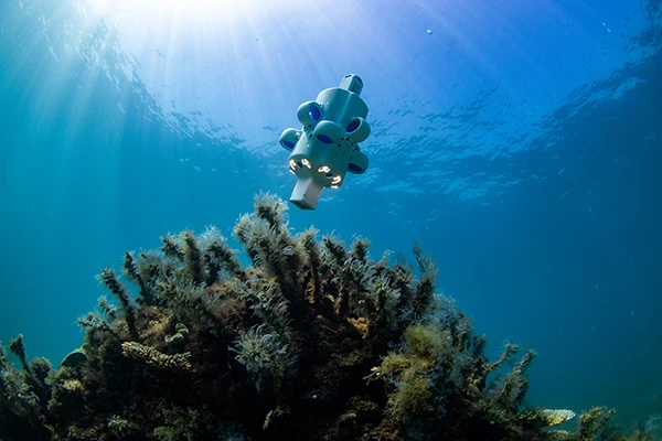
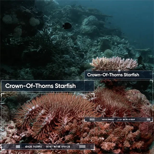
Hydrus produces stunning imagery, even in challenging low light and turbid conditions. Through its innovative combination of a 4K camera, dynamic lighting and AI image processing, Hydrus delivers high quality georeferenced footage. The high 60 frames per second allows fast movements to be captured and enhances machine vision capability, allowing for AI classification and analysis to be performed onboard. Hydrus can create 3D RGB point clouds by combining imagery with its sonar and navigation data.
Small and Affordable
Hydrus condenses its advanced features into one of the smallest, and most affordable autonomous underwater vehicles on the market. Its fully encapsulated polymer construction provides best-in-class reliability with minimal maintenance.
Intuitive Mission Control
Hydrus takes complex mission design out of the expert domain and into the hands of anyone that needs underwater data. It features an intuitive point and click 3D map interface that makes creating complex missions simple and allows untrained operators to use the system out of the box. Mission execution utilizes AI for reliable navigation and image quality control.
Open Platform
Hydrus is able to integrate your custom software as a payload, offering full access to the camera, sensors, navigation, modems and control. The powerful and open architecture is ideal for machine vision and AI applications.
And more incredible features

AI-Enhanced INS
Fusion of all navigation and positioning data with Advanced Navigations’ revolutionary INS algorithm.

USBL Positioning
Absolute positioning and time synchronization available when paired with Subsonus USBL.

DVL Transducers
Avoid obstacles, set camera focal length, and measure vehicle velocity with high-frequency acoustics.

High Speed Communication
Transfer high speed and secure data via Wi-Fi above the water, and optical modem underwater.

4K 60 FPS Camera
Simultaneous cinema grade video and still images. Optimized for low light and computer vision applications.

Hubless Thrusters
Hubless thrusters maintain fine control authority and avoid entanglement of objects. Impellers are swappable for ease of maintenance.

Connectorless Design
Fully sealed, connectorless body design reduces maintenance and removes the chance of water ingress.

Wireless Charging
Safe, reliable and fast charging of Hydrus using industry-standard Qi protocol, even underwater.

E-ink Screen
Pressure tolerant, ultra low power E-ink screen for concise and clear human-machine interface.
One solution. Endless applications.
Reef & Habitat Monitoring
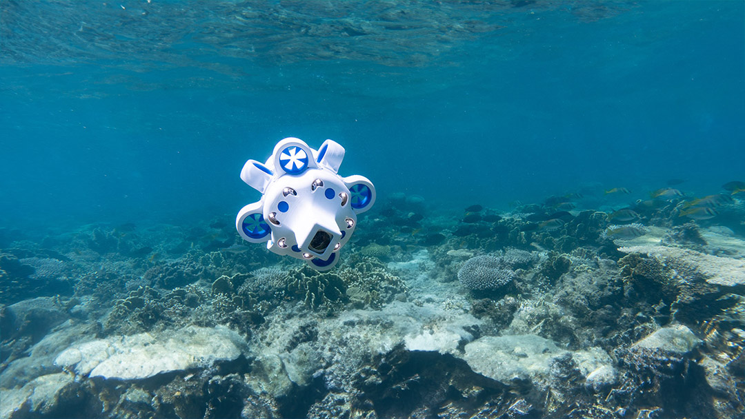
With obstacle detection, collision avoidance and hubless thrusters, Hydrus has 6 degrees of freedom of movement, making it easy to navigate around reefs and tight spaces without impacting the environment.
It also includes a 4K camera capable of capturing video and imagery simultaneously with millimeter precision, enabling 3D photogrammetry modeling.
Hydrus can be hand deployed by a single user, eliminating the need for specialist crews and reducing costs. This allows for more frequent surveys and faster collection of complex datasets.
Applications include:
- Tracking long-term reef health
- Assessing baby coral growth
- Monitoring seagrass meadows
- Subtidal monitoring
Seabed Verification & Mapping
The tight integration of the imaging and navigation systems allows Hydrus to capture high-resolution seabed images that are natively georeferenced.
These can be easily integrated with industry-standard GIS, mosaicing, and photogrammetry software.
Using the mission planning software, Hydrus missions can be saved and repeated as often as needed, enabling repeat data collection images at scheduled time intervals. View Whitepaper.
Applications:
- Site investigation
- Ground truthing
- Intelligence, Surveillance and Reconnaissance (ISR)
- Environmental change observation
- Underwater archaeology & heritage
Underwater Asset Inspection
Hydrus can be operated untethered, autonomously without the need for large vessels or expert crews.
Compared with conventional underwater dives using divers or ROVs, Hydrus can reduce operational costs by up to 75%.
Applications:
- Inspection of subsea cables
- Survey of oil and gas pipelines
- Marine pre/post construction assessment
Object Localization and Classification
Hydrus features an open platform architecture, allowing users to run custom software directly onboard with direct access to the imaging and sensor data.
This supports AI capabilities such as machine vision, allowing for tasks such as object localization and classification to be performed rapidly.*
Applications:
- Subtidal monitoring & research
- Search and rescue missions
*Note, this technology requires extensive underwater datasets and model training.
Specifications
Downloads
Datasheet
Related Articles
How Micro Hovering AUVs can Change the Conversation Around Rig-to-Reef Programs
19 December 2023
View Post
Hydrus Functionality in the Field: Unveiling the Depths of Ocean Intelligence
15 November 2023
View Post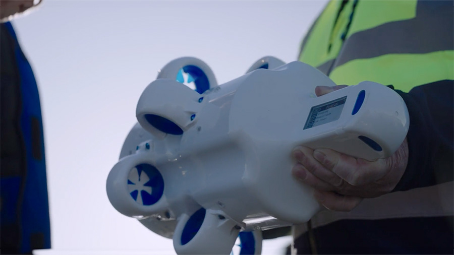
Enhancing Aquaculture Sustainability with Hydrus
5 October 2023
View Post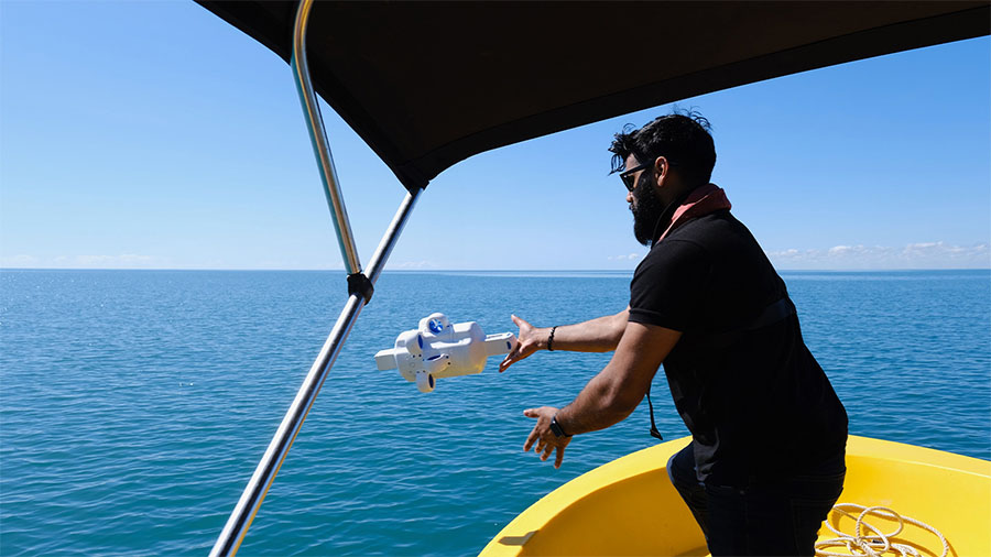
Micro Hovering AUV Hydrus Completes Successful Simulation to Identify Hazards in Tropical Waters
20 September 2023
View Post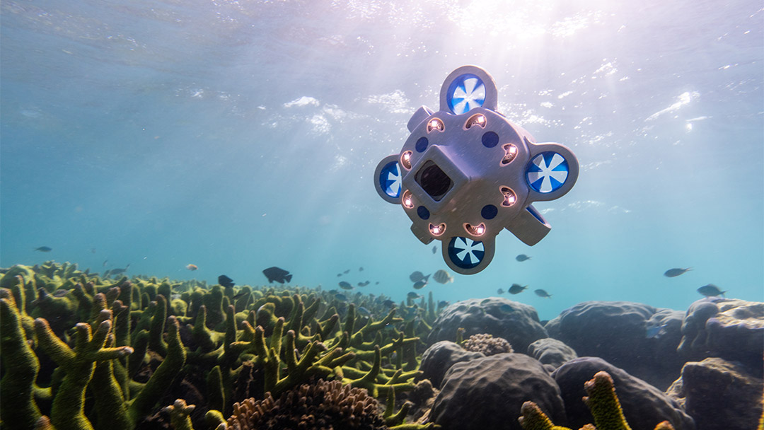
The Benefits of Hydrus Micro Hovering AUV Explained
8 June 2022
View Post