Certus Evo
Certus Evo is an ultra-high accuracy MEMS GNSS/INS that combines low SWaP-C (Size, Weight, Power, and Cost) and FOG-like performance.
Roll & Pitch
0.03 °
Heading (GNSS)
0.05 °
Bias Instability
0.2 °/hr
Position Accuracy
10 mm
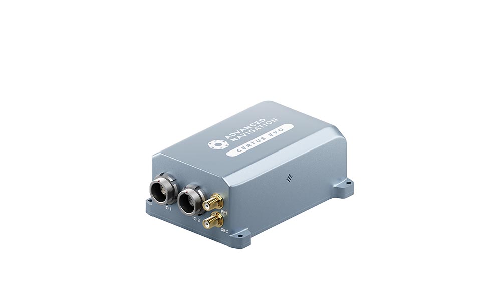
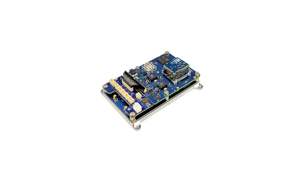
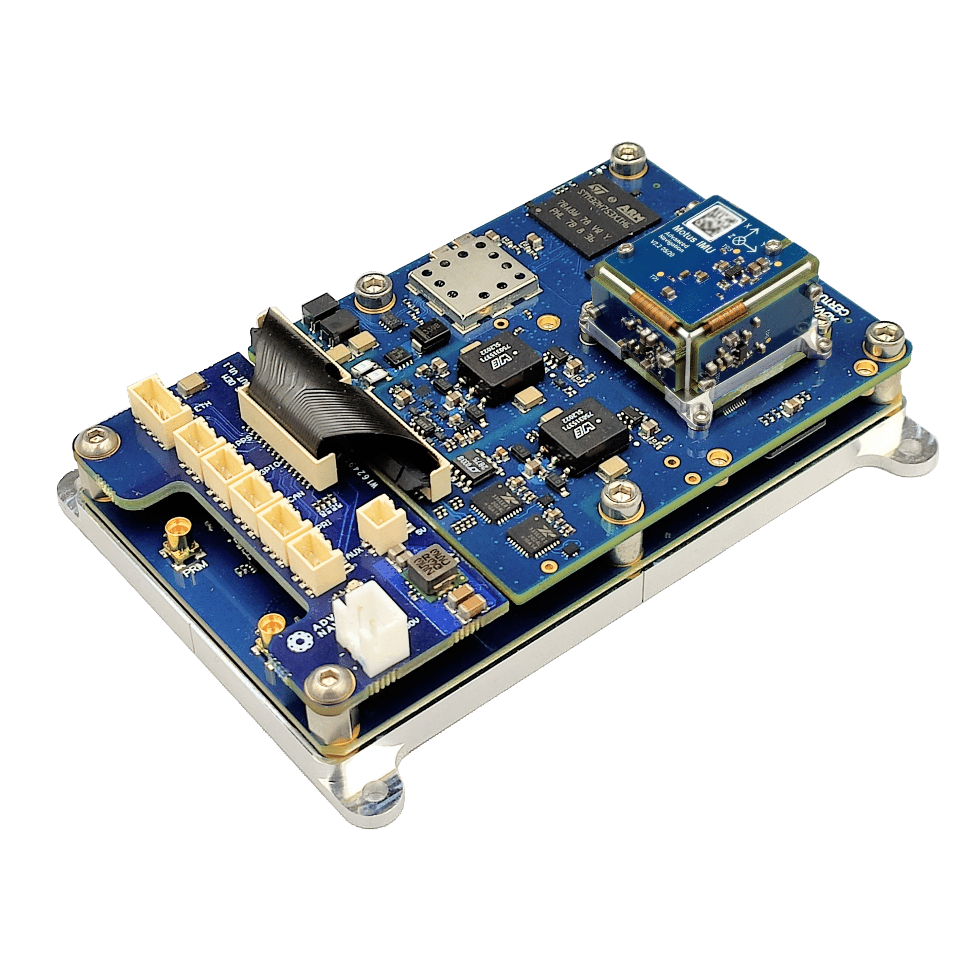
Certus Evo is an AI-based MEMS GNSS-aided INS that provides extremely accurate position, velocity, acceleration, and orientation under the most demanding conditions. It offers FOG-like performance combined with the reliability and affordability of MEMS sensors. It features low SWaP-C (Size, Weight, Power, and Cost), internal data logging, and multiple communication interfaces for easy integration. Certus Evo is available in both OEM and rugged packages and comes standard with license-free 1 cm RTK position accuracy. Certus Evo is compatible with our post-processing kinematic (PPK) software Kinematica.

Features
Ultra-High Accuracy MEMS
Certus Evo features some of the highest accuracy MEMS accelerometers and gyroscopes currently available. Certus Evo’s inertial performance exceeds some FOG IMUs and is up to 100x smaller and 10x cheaper. Certus Evo is put through Advanced Navigation’s intensive calibration process to provide consistently accurate data over an extended temperature range of -40°C to 85°C.

AI-Based Algorithm
Certus Evo features Advanced Navigation’s revolutionary AI neural network sensor fusion algorithm. It was designed for control applications and has a high level of health monitoring and instability prevention to ensure stable and reliable data.

Dual Antenna RTK GNSS
Certus Evo contains a dual frequency RTK GNSS receiver that provides up to 1 cm accuracy positioning and supports all of the current and future satellite navigation systems, including GPS, GLONASS, GALILEO, BeiDou and QZSS. Dual antenna heading provides high accuracy heading that is not impacted by magnetic interference and has no motion requirements.

Time Synchronization
Certus Evo contains a GNSS disciplined oscillator that can act as the primary time source within a distributed time system, enabling access to ultra-accurate system time using PTP or NTP network time sync. Certus also has a high-accuracy 1PPS and frequency output.

Multi Protocol Support
Certus Evo features multiple interfaces including Ethernet, CAN, RS232, RS422 and GPIOs. Certus supports all the industry standard protocols including NMEA 0183, NMEA 2000, TSS, PASHR, Simrad as well as a wide variety of proprietary protocols. It features a rich web UI and 256GB of internal logging.
Applications
Marine Surveying
Land Surveying
UGVs
Helicopters
Antenna Targeting
Motorsport
Robotics
Specifications
Navigation
Sensors
Accelerometers
Gyroscopes
Magnetometers
GNSS
Communication
Hardware
Downloads
Datasheet
3D Model
OEM 3D Model
Certus Evo Gyroscope Allan Variance Report
Certus Evo Aided vs Unaided Car Dead Reckoning Performance Report
Certus Manager
Version 7.3
11 Apr 2024
Certus Manager is used for testing, configuration, firmware management and logging with Certus. Java 11 is required to run Certus Manager v7.0 and later. Adoptium JRE 11 is the recommended Java installer. Please see the reference manual for more information.
Certus Firmware
Version 1.90
14 Nov 2024
Firmware for all Certus hardware versions. This can be loaded onto Certus using the web interface or the Certus Manager software. The change log can be found in the Certus reference manual.
Certus SDK
Version 7.3
28 Aug 2024
The Certus SDK provides example source code for interfacing with Certus through the AN Packet Protocol. The languages provided are C/C++, Java, and .Net C#.
Related Articles

Unleashing Precision: Advanced Navigation Fuels Orient Express In the High-Stakes America’s Cup
22 August 2024
View Post
Onboard With MooVita: Towards The Next Stop In Autonomous Transportation
27 March 2024
View Post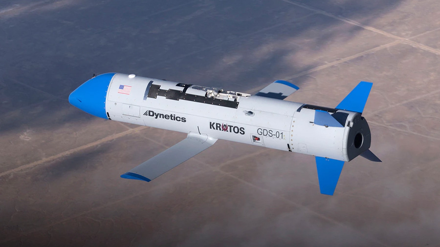
Dynetics Selects Advanced Navigation for Gremlins X-61 UAV
23 August 2021
View Post