Spatial FOG Dual
Spatial FOG Dual is a rugged GNSS/INS that provides accurate position, velocity, acceleration, and orientation under the most demanding conditions.
Roll & Pitch
0.01 °
Heading (GNSS)
0.01 °
Bias Instability
0.1 °/hr
Position Accuracy
10 mm
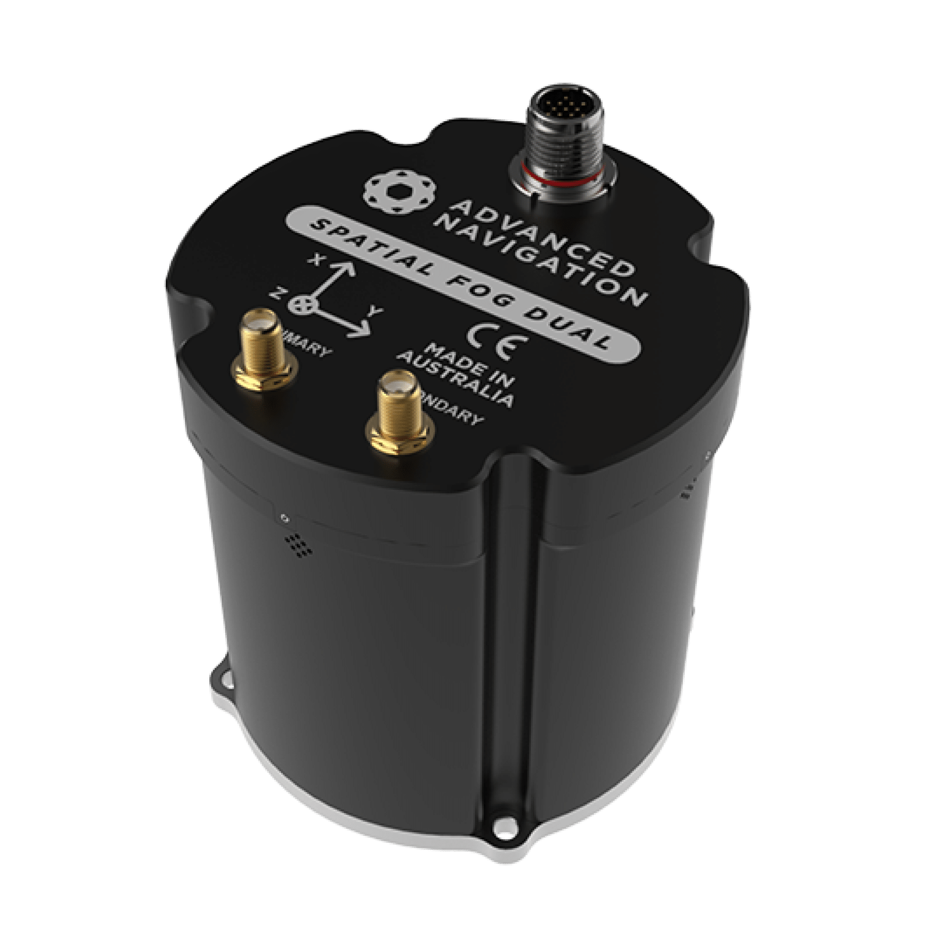
Spatial FOG Dual is an industry-proven GNSS/INS and AHRS. It combines high accuracy fibre optic gyroscopes, accelerometers, magnetometers, and a pressure sensor with a dual antenna RTK GNSS receiver. These are coupled in an AI-based fusion algorithm to deliver accurate and reliable navigation data. Spatial FOG Dual is compatible with our post-processing kinematic (PPK) software Kinematica.

Features

High-Accuracy FOG

AI Navigation Algorithm
Spatial FOG features Advanced Navigation's revolutionary AI neural network sensor fusion algorithm. This provides accuracy of up to 10 times that of a traditional kalman filter. It was designed for control applications and has a high level of health monitoring and instability prevention to ensure stable and reliable data.

Reliability
Spatial FOG has been designed from the ground up for mission critical control applications where reliability is very important. It is built on top of a safety oriented real time operating system and all software is designed and tested to safety standards with fault tolerance in mind. The hardware is designed and manufactured to mil standards.

Dual Antenna RTK GNSS
Spatial FOG Dual contains a dual frequency RTK GNSS receiver that provides up to 10 mm accuracy positioning and supports all of the current and future satellite navigation systems, including GPS, GLONASS, Galileo, and BeiDou. Dual antenna heading provides high accuracy heading that is not impacted by magnetic interference and has no motion requirements.

Peripherals
Spatial FOG Dual features two general purpose input output pins and two auxiliary RS232/RS422 ports that support an extensive number of peripherals. Including odometer based input for ground vehicles, DVLs and USBLs for underwater navigation, NMEA input/output and more.
Applications
Specifications
Software
Spatial FOG Manager is the software provided for testing, configuration and logging with Spatial FOG Dual. Java 11 is required to run Spatial FOG Manager v7.0 and later. Adoptium JRE 11 is the recommended Java installer. Please see the reference manual for more information.
9 Apr 2024 – V7.3
Spatial Manager for Android is available in the Android play store. A Bluetooth dongle is required which can be purchased by contacting [email protected].
Latest
Get In Touch
Please select a topic below related to your enquiry. If you don’t find what you’re looking for, fill out our contact form.